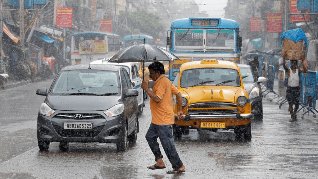
A day before the southwest monsoon (June-September) came to a close, overall rainfall has been 7.8% above the benchmark long period average (LPA) in the ‘above normal’ range, as predicted by the India Meteorological Department (IMD) in May this year. However, concerns have been raised about the ability of the forecasting system to cope with changing weather patterns, as well as temporal and spacial distribution of rains. Mrutyunjay Mohapatra, Director General at IMD spoke to Sandip Das on factors which impacted the precipitation in the last four months, and the challenges in weather forecasting.
How do you assess the performance of the monsoon this season?
As we had predicted, monsoon progress during July-September has been good. June saw rain deficiency while in July and August we received ‘above normal’ monsoon rains and September is also going to have surplus precipitation. We had predicted normal monsoon for June which it turned out to be ‘below normal.’ In terms of regional coverage, Jammu and Kashmir, Ladakh and northeastern states got deficient rains. It’s a textbook practice that in a surplus monsoon year, northern states get less rains and central India gets above normal precipitation. The withdrawal of the annual phenomenon is largely on time. A slight delay was because of a low- pressure system developing. There is no change in the final withdrawal date of October 15.
What about regional distribution of rains? How has El Nino and La Nina conditions impacted the monsoon performance?
More than 80% of the districts have received normal to above normal rainfall this monsoon season. There were no typical breaks in conditions except for a few days in August when central India got less rainfall. Number of low-pressure systems was quite high in the last four months. Usually, there are 13 low pressure systems we get during monsoon season. This time it has been more.
Currently, there are no El Nino and La Nina conditions and both are on the negative sides. Conditions are now veering towards La Nina. However, intra seasonal variations were favourable. We had predicted that during the second half of the monsoon season (August-September), La Nina will develop, which did not happen. Now there are talks that La Nina conditions may develop during the October-November phase.
Q: How is climate change impacting the monsoon progress and intensity?
After onset over Kerala coast, the monsoon rains’ progress towards central India is getting sluggish. Starting from Gujarat, Madhya, Chhattisgarh and Odisha, progress is getting delayed by one week. Subsequently monsoon this time reached northwest India one week early in Rajasthan instead of July 15. Early arrivals of rains in Rajasthan do not have much influence on agriculture But, as for Central India, which has a rainfed agriculture system and is monsoon core zone with limited irrigation, a delay of one week plays a key role (in farming). If the monsoon is getting delayed, farmers should be prepared. Withdrawals of monsoon are getting delayed in Rajasthan by two weeks by September 17. Duration of the rainy season has increased over northwest India, decreased in central Indian and remains the same over the southern peninsula. Central India is being affected. Frequency of heavy rainfall in central India is increasing and light rainfall is decreasing. Rainfall is occurring in a small time period which has to be utilised in our monsoon core zones.
Q: What are the challenges faced in the current forecast system? How is the Rs 2000 crore mission monsoon recently approved by Cabinet expected to improve weather and climate-related research and services?
At present, we are providing weather forecasts at district and block levels. As we go towards districts to block, our forecast accuracy decreases. The objective to create a forecast system at panchayat levels by 2026 with augmented data sets.
We expect vast improvement in local forecast accuracy in the next couple of years. In the last decade, the improvement in the weather forecast has been 40% and in the next two years a 50% improvement is projected.
Currently, we are unable to detect heavy rainfall activities in a particular place with existing data sets. We have 40 odd doppler radars, around 84% of the country is covered by radars.
We need to augment the radar system more. We have issued supply orders for another 30 radars by 2026. In addition, 50 more radars will be purchased under Mission Mausam. Target is to get around 100 radars in the next two years. When we have 120 radars, we will be on par with the USA, China in terms of radars. At present, we are lagging behind. Once we have all these radars in place, we will be able to observe every 10 minutes the entire country – cloud, amount of rainfall, lighting and thunderstorm.

