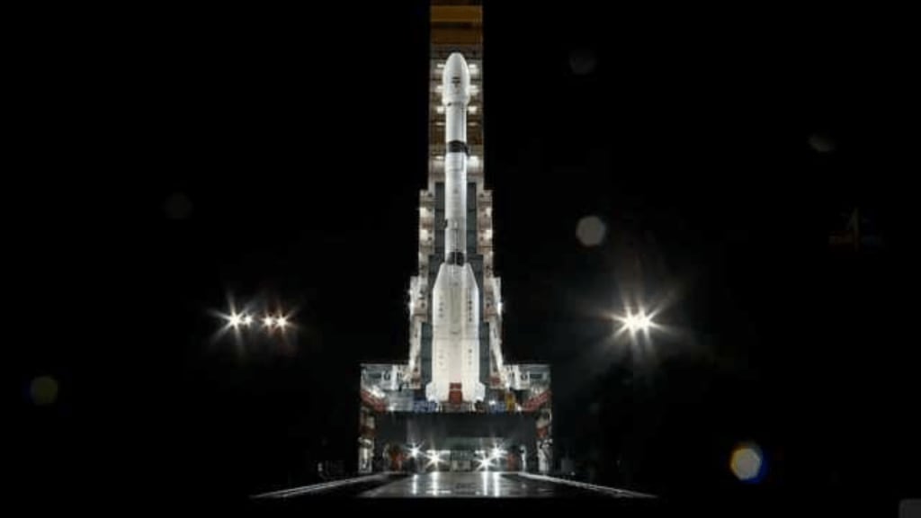
ISRO and NASA’s joint mission, the NISAR satellite, successfully lifted off on Wednesday evening as scheduled. The Earth observation satellite, developed through a collaboration between the two space agencies, was launched from the Satish Dhawan Space Centre on India’s southeastern coast aboard ISRO’s Geosynchronous Satellite Launch Vehicle (GSLV).
In a statement, former ISRO chief K Sivan said NISAR “is a very advanced satellite that can capture even the slightest of movements on the Earth’s surface. These observations can help them in mapping changes such as volcanic hazards or landslides and prepare in advance. This is a result of a collaboration that started nearly 10 years ago.”
Live Launch Details and Deployment Timeline
NISAR weighs 2,392 kg and launched aboard the Geosynchronous Satellite Launch Vehicle Mark II (GSLV Mk II) at 5:40 PM IST on July 30. Watch the launch live on the official NASA livestream or on the NASA website.
It will take 8-10 days for NISAR to be fully deployed. After launch, NISAR will go into a 65 day engineering phase during which scientists will do daily tests and calibrations.
What’s Special About NISAR
ISRO and NASA’s joint mission, NISAR will map the Earth’s surface every 12 days, regardless of weather or time of day. With two synthetic aperture radars (SARs), it can detect surface changes down to fractions of an inch, enabling scientists to monitor natural disasters like earthquakes and landslides.
The mission also promises “unprecedented coverage of Antarctica”, allowing researchers to study how ice sheets evolve over time. NISAR is the first ever hardware collaboration between ISRO and NASA, with an S-band radar built by ISRO for monitoring crops and an L-band radar developed by NASA that can penetrate dense forest canopies.
NISAR’s launch was delayed multiple times, most recently due to issues with its unfurlable antennae. But all systems are now in place and the mission is ready to go.


