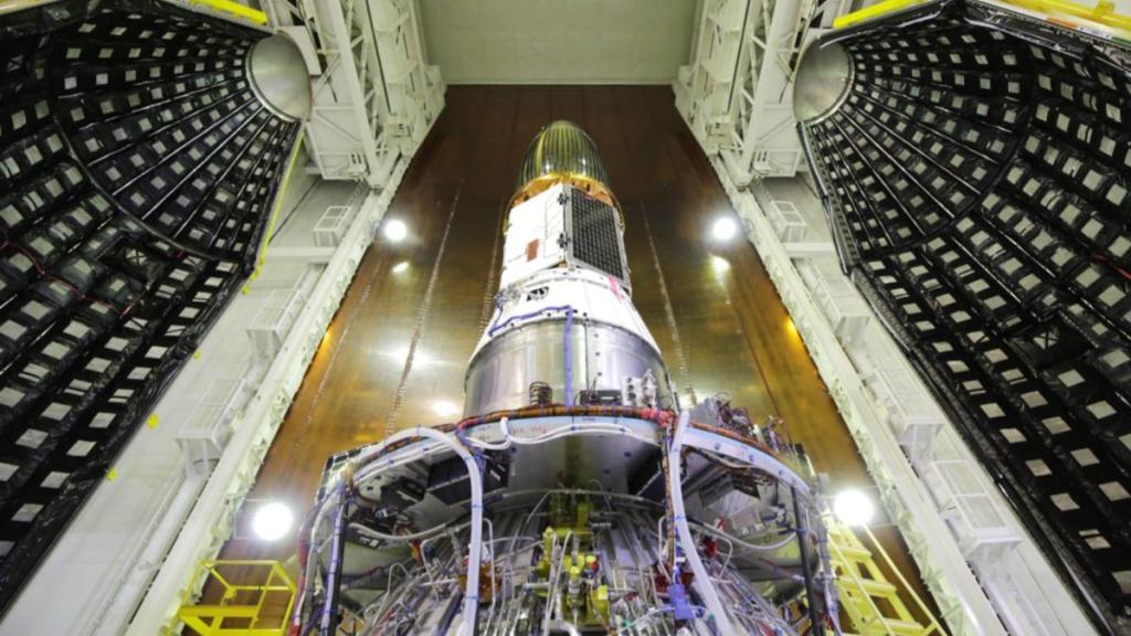
India is gearing up to launch the PSLV-C56, which will carry the DS-SAR satellite and six co-passenger satellites from the Satish Dhawan Space Centre (SDSC-SHAR) in Sriharikota on July 30. The launch marks yet another milestone in India’s space endeavours, showcasing the country’s growing capabilities and contributions to the global space community.
Similar to its predecessor (PSLV-C55), the PSLV-C56 will be configured in its core-alone mode. Its primary payload, the DS-SAR satellite, weighs 360 kg and will be launched into a Near-equatorial Orbit (NEO) at an inclination of 5 degrees and an altitude of 535 km.
When will the launch take place?
The PSLV-C56 is scheduled to launch on Sunday from the first launch pad at the Satish Dhawan Space Centre in Sriharikota. The PSLV-C56 is set to lift off at 06:30 am IST.
The six co-passenger satellites
- VELOX-AM: This 23 kg microsatellite is a technology demonstration mission.
- ARCADE: An experimental satellite designed for Atmospheric Coupling and Dynamics Explorer.
- SCOOB-II: This shoebox-sized satellite, skillfully designed and developed by the team at Singapore’s Nanyang Technological University (NTU), is destined to orbit for a duration of 6 months. To ensure precise orientation in space, SCOOB-II utilises a sophisticated three-axis controlled reaction wheel assembly.
- NuLIoN: Like SCOOB-II, NuLIoN shares the dimensions of a shoebox. However, its primary objective differs significantly – it aims to revolutionise continuous LoRaWAN IoT services. Employing low-power, wide-area network (LPWAN) technology, LoRaWAN facilitates seamless connectivity for IoT devices.
- Galassia-2: Another 3U nanosatellite intended to orbit at low earth orbit.
- ORB-12 STRIDER: Developed through international collaboration.
What is DS-SAR satellite?
The DS-SAR satellite is the result of a partnership between DSTA, representing the Government of Singapore, and ST Engineering. This satellite will play a crucial role in supporting the satellite imagery requirements of various Singaporean government agencies. ST Engineering, in turn, will utilise it to offer multi-modal and highly responsive imagery and geospatial services to its commercial customers.


