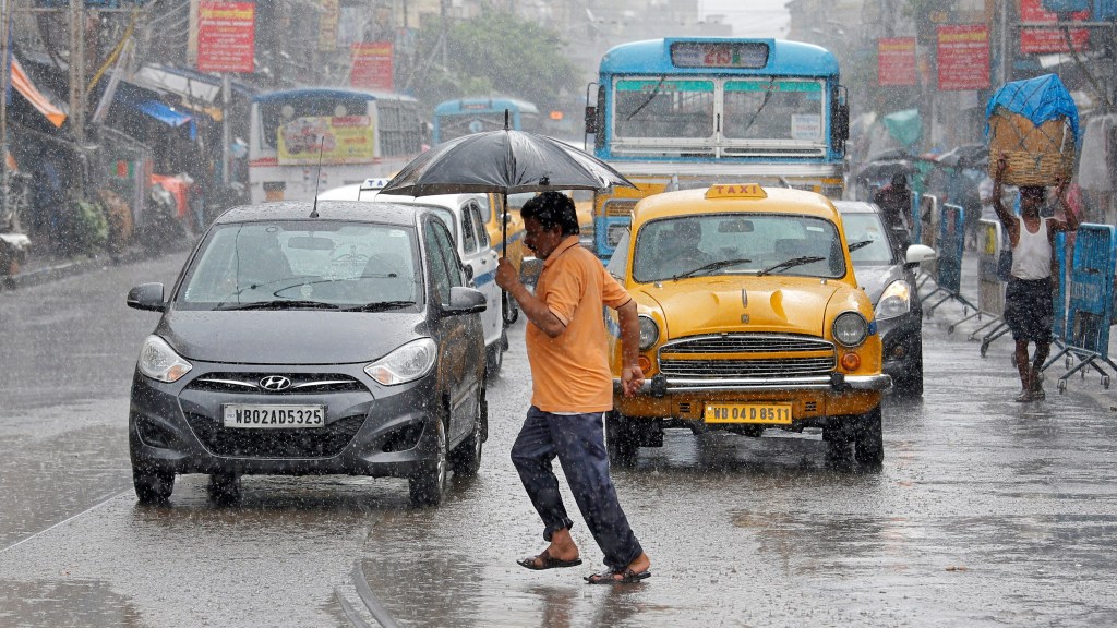
An active western disturbance is likely to affect the western Himalayan region from February 29 and adjoining plains from March 1-3, 2024, the India Meteorological Department (IMD) mentioned in the latest weather bulletin.
The active western disturbance is likely to hit peak intensity on March 1 and 2. High moisture feeding from the Arabian Sea to northwest India is also likely during this period. Under its influence, isolated heavy rainfall and snowfall are predicted over hilly regions with hailstorm activity in Uttarakhand on March 1.
Rainfall in parts of country
A fresh spell of rainfall activity accompanied by thunderstorms, hailstorms & lightning is likely over central India today, the MeT department stated.
Under the influence of a trough, isolated to scattered light and moderate rainfall accompanied by gusty winds (speed reaching 30-40 kmph) is likely over south Madhya Pradesh, south Chhattisgarh, Odisha, and Vidarbha today.
States like Jharkhand and Gangetic West Bengal will see rainy weather today. Hailstorm activity is also predicted at isolated places over south Madhya Pradesh and south Chhattisgarh today, IMD mentioned
Delhi sees mild cold day
People in Delhi woke up to a cold Monday morning with the minimum temperature recorded at 9.9 degrees Celsius, three notches below the season’s average, while the maximum temperature settled at around 27 degrees Celsius.
The MeT department has forecast a generally cloudy sky with the possibility of very light rain or drizzle in the national capital
As per IMD, scattered to fairly widespread rainfall is predicted in regions like Delhi, Punjab, Haryana, and Chandigarh on March 1 and 2.
Temperature forecast
A gradual rise in minimum temperatures by 2-4°C is likely over Northwest India during the next 3 days and no significant change after that. No significant change in minimum temperatures is likely over rest parts of the country during the next 5 days.

