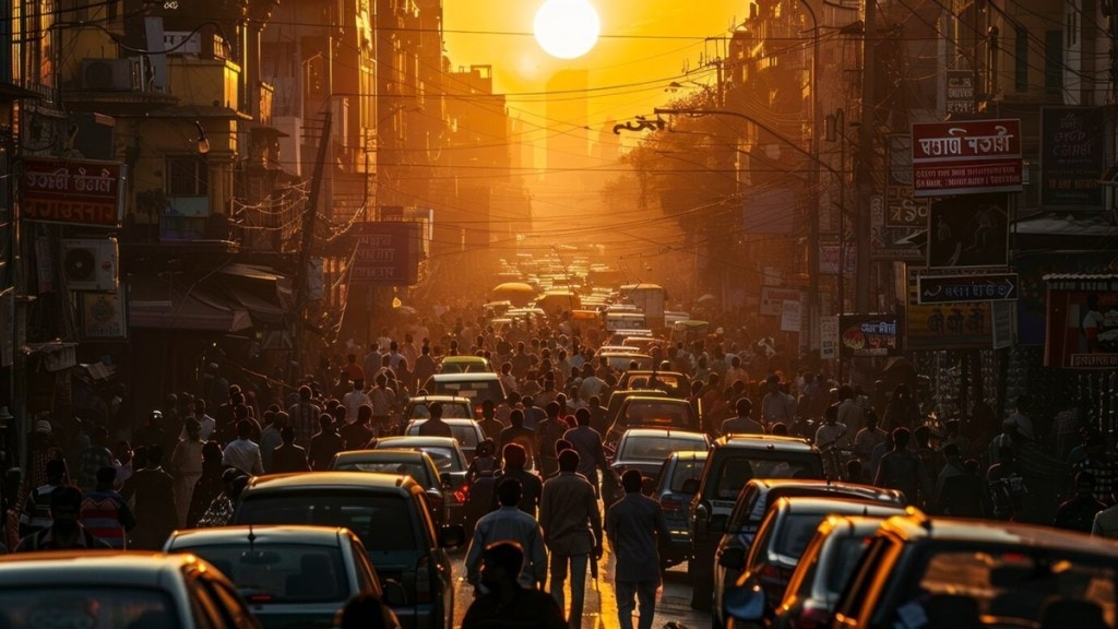
EaseMyTrip Co-founder Prashant Pitti made waves this week after insisting that he could drastically improve the Bengaluru traffic situation “within a year”. He had also pledged Rs 1 crore to ‘fix’ chronic traffic congestion in the city and reached out to various stakeholders as part of an elaborate plan.
“I am committing Rs 1 crore to find Bangalore choke-points via Google Maps and AL. 11 km → 2.15 hours in Bangalore Traffic on Saturday late night! I was stuck at one choke-point at ORR, where I spent 100 mins struggling to understand why there is no traffic light or cop here! But I don’t want one more “Bengaluru Traffic Memes or Rant”. I WANT TO FIX IT,” he had insisted in mid-July.
‘Will improve Bengaluru traffic by 25-30% within a year’
The businessman subsequently outlined an elaborate plan to improve the situation using recently released ‘Road Management Insight’ data from Google Maps. Pitti shared a fresh update on his ongoing efforts this week — assuring that he could “improve Bengaluru traffic by 25-30% within a year”.
The businessman said that he had met with the Bengaluru commissioners of Bruhat Bengaluru Mahanagara Palike and Bangalore Traffic Police, as well as top City Police officials to explain his plan. Pitti also interacted with employees of Google India, IISc researchers, and mobility entrepreneurs. He added that he had requested data from Google, Uber, Ola, Rapido to help models predict better re-routing — with some confirming their support.
“All three newly appointed commissioners were very kind to invite me to showcase existing capabilities AND collaborate to work together. For the first time we are bringing all key public and private players – to the same table. Both BTP and IISC have simulation models, which can create millions of re-routing permutations to reduce travel-time (not shortest distance),” he wrote on X.
How would this work?
Pitti had previously said he could use Google Data and Satellite Imagery to list all the traffic choke points in Bengaluru with their exact timings within a month. He also expressed willingness to spend Rs 1 crore on the project — funding one or two senior machine learning or AI engineers and providing budget for using Google Maps API calls, Satellite Imagery and GPUs
“Govt already has apps, where people can report potholes. I will take ownership of that app, to increase its scope (report illegal parking, broken signal, wrong side driving, water logging, broken vehicle, etc). I will also increase accountability and recognition by showcasing all the complaints lodged and action taken (along with time-stamp) publicly,” he added on Thursday.
“Govt closes the road to do infra/maintenance work, but then it starts raining on that patch of road and work halts. This leads to crazy downtime and traffic congestion. Hyperlocal Rain Predictor project will also allow us to fix drainage issues, even before it happens. Putting traffic lights in sync, so they move vehicles in waves, instead of stopping at every junction. A pilot is already happening, we will analyse the results to see if it makes sense to be done at City level,” Pitti said.

