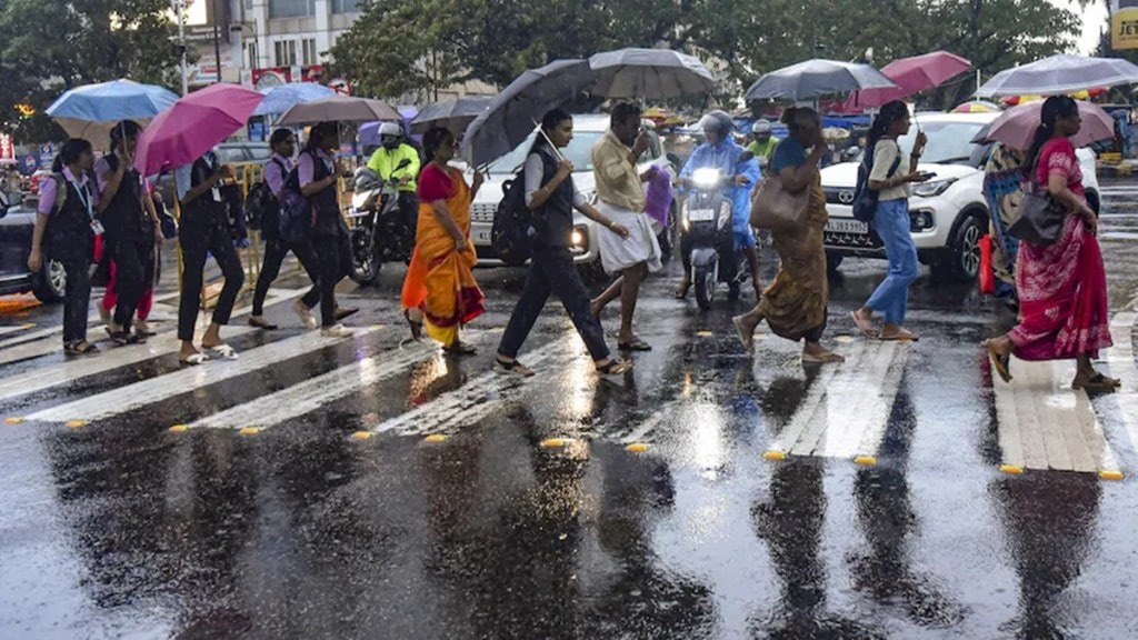
Despite the India Meteorological Department (IMD) declaring that the southwest monsoon has withdrawn from Mumbai, along with other regions of the country, on October 15-about a week later than the scheduled date-Mumbai will be placed under yellow alert for the next few days.
IMD has predicted heavy thundershowers, lightning, and squally winds in parts of Mumbai, Thane, Raigad, and other coastal areas of Maharashtra through at least Monday.
The continuous spells of thundershowers and rain are because of the cyclonic circulation systems in the region. “A cyclonic circulation near North Lakshadweep and upper air cyclonic circulation over the Andaman Islands are responsible for the current weather activity”, said director, Sunil Kamble, IMD Mumbai. These have been termed “unseasonal showers” because the monsoon has officially withdrawn.
Weather experts say that thunderstorms are quite common during this time of the year, especially after withdrawal of monsoons in October.
Duration of thunderstorms and showers
Kamble says that the cyclonic systems that are currently in the region will intensify, and this will make the thunderstorm activity more exciting for Mumbai in the days to come. The met department is following closely and will update the condition according to the systems that are in state.
Mumbai has been kept under the yellow alert for the weekend. IMD forecasted light to moderate falls coupled with thunderstorms over the city till Monday. Yellow alert has been issued for Thane and Raigad districts from Friday till Monday. Apart from Gondia and Bhandara in Vidarbha, almost all districts of Maharashtra have been put under yellow warning for the next five days.
Till date, the Colaba coastal observatory has registered 113.4 mm of rainfall in October. It is more than the monthly average set at 83 mm. The Santacruz station has recorded 72.5 mm during the same period. This is the wettest October in two years. The maximum was recorded as only 24.2 mm last year.
What’s next for Mumbai?
Temperatures in Mumbai are expected to rise once the thunderstorm activity subsides. “As the current systems dissipate, maximum temperatures could reach around 34 to 35 degrees Celsius,” said an officer from the IMD. Temperatures are currently about two degrees below normal while Colaba registered 31.3 degrees on Thursday.
This is usual in a phenomenon called ‘October Heat.’ Earlier in the month the temperatures had oscillated between 36 and 37 degrees until the rains came about last week.
