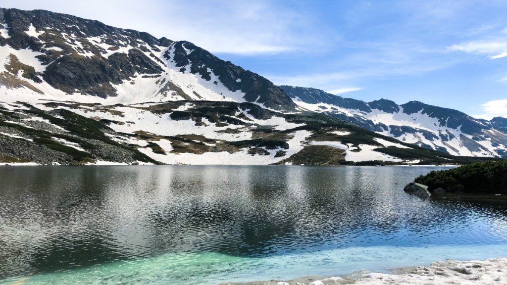
The Himalayas, also known as the Third Pole due to their large amount of glaciers and snow, are very responsive to global climate changes. These changes affect both the physical features of the mountains and the people living around them.
Studies from around the world have found that since the start of the Industrial Revolution in the 18th century, glaciers everywhere have been shrinking and getting thinner at rates never seen before.
This melting creates new lakes and causes existing ones in the Himalayas to grow larger. These water areas, formed from melting glaciers, are called glacial lakes. They are important because they supply fresh water to rivers in the Himalayas.
However, these lakes also present serious dangers, like Glacial Lake Outburst Floods (GLOF’s), which can cause severe damage to communities located downstream.
GLOF’s happen when glacial lakes suddenly release a lot of water because the natural dams holding them back made of moraine ( pile of rock or debris) or ice fail. This leads to rapid and intense flooding in areas downstream.
These dam failures can be caused by different things such as ice or rock avalanches (or Landslides), severe weather, and other environmental conditions.
Keeping track of and researching how glacial lakes form and grow in the Himalayas is tough because the area is hard to reach and very rough. Satellite remote sensing technology is a great method for surveying and monitoring because it can cover large areas and check them repeatedly. Studying changes in glacial lakes over time is important for learning about how fast glaciers are melting, evaluating flood risks from lake outbursts, and understanding the effects of climate change.
Satellite records from the last 30 to 40 years offer important information on changes in glacier-covered areas. Long-term satellite pictures of the river basins in the Indian Himalayas, from 1984 to 2023, show major changes in glacial lakes.
Indian Space Research Organisation (ISRO) tweeted on April 22nd from their X handle, that out of 2,431 lakes larger than 10 hectares (24.71 acres) identified during 2016-17, 676 have significantly grown since 1984. Specifically, within India, 130 of these expanding lakes are distributed across major river basins: 65 in the Indus, 7 in the Ganga, and 58 in the Brahmaputra.
An analysis based on elevation shows that 314 lakes are situated between 4,000 and 5,000 meters high, while 296 lakes are located at elevations above 5,000 meters.
Of these lakes:
● 601 lakes (89%) have more than doubled in size
● 10 lakes have increased by 1.5 to 2 times
● 65 lakes have expanded by 1.5 times
Glacial lakes are grouped into four main types according to how they form: Moraine-dammed lakes (blocked by piles of rocks and debris), Ice-dammed lakes (blocked by ice), Erosion lakes ( Water dammed in depressions created by erosion), and other types of glacial lakes. Out of the 676 growing lakes, most are Moraine-dammed (307 lakes), followed by Erosion (265 lakes), other types (96 lakes), and Ice-dammed (8 lakes) glacial lakes.
Over the years, the Ghepang Ghat glacial lake in the Indus River Basin, located at an elevation of 4,068 meters in Himachal Pradesh, India, has grown significantly. From 1989 to 2022, it expanded by 178%, increasing from 36.49 hectares (about 90.13 acres) to 101.30 hectares (about 250.37 acres). This growth amounts to an average increase of approximately 1.96 hectares (about 4.84 acres) per year.
Satellite data that tracks changes over time offers crucial information about how glacial lakes behave. This understanding is vital for evaluating environmental effects and forming plans to manage risks from glacial lake outburst floods (GLOFs) and adapt to climate change in glacier-rich areas.

