



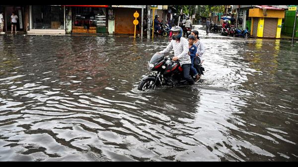
India’s cumulative monsoon picture remains uneven as of mid-July, with around 410 of 741 districts falling in the deficient or large-deficient categories (55% of the total), according to India Meteorological Department (IMD) data. In contrast, only 108 districts are in the excess or large-excess bracket (15%), showing that rainfall recovery is still incomplete across a large part of the country.
The state-level breakup also underlines the spread of the shortfall, with Uttar Pradesh recording 45 deficient/large-deficient districts out of 75, Bihar at 33 out of 38, Telangana at 26 out of 33, Madhya Pradesh at 18 out of 55, Jharkhand at 23 out of 24, Chhattisgarh at 19 out of 33, and Karnataka at 22 out of 31.
Among these, Jharkhand appears to be the most stressed, with 96% of its districts in the deficient or large-deficient category, followed by Bihar at 87% and Telangana at 79%. Karnataka also remains significantly affected at 71%, while Uttar Pradesh shows a broad deficit footprint despite a larger district base.
Chhattisgarh stands comparatively better than several others, but even there 19 districts are still in the deficient category. The numbers suggest that the rainfall shortfall is not confined to one region; it is spread across the eastern, central, and southern belts, with several large states still facing substantial monsoon stress.
The broader trend, however, shows some improvement over time. On June 30, the country was facing a 30% deficit, which narrowed to 28% in the July 1 weekly update, and then improved further to 14% by July 9, according to the IMD.
That decline indicates a gradual monsoon recovery, but the district-level data shows that the improvement has not yet translated into uniform relief on the ground. In other words, the national deficit has eased, but many districts are still lagging behind, meaning the monsoon remains patchy and uneven in its distribution.
The table presents the state wise distribution of districts for the period June 1, 2026 to July 14, 2026, covering the categories of large excess, excess, normal, deficient, large deficient, no rainfall, and no data.
Overall, the distribution points to a clear rainfall shortfall across the country, with 336 districts in the deficient category and 74 districts in the large deficient category.
In comparison, 219 districts were in the normal category and 88 districts recorded excess rainfall, while only 20 districts fell under large excess, 1 district reported no rainfall, and 3 districts were listed as no data. This pattern suggests that a substantial number of districts were still experiencing below-normal monsoon conditions during the reporting period.
India’s Monsoon Deficit 2026: District-Wise Rainfall Tracker
| # | State | Deficient/Large-Deficient | Total Districts | % Affected | Stress Level |
|---|---|---|---|---|---|
| 1 | Jharkhand | 23 | 24 | 96% | Most stressed |
| 2 | Bihar | 33 | 38 | 87% | Severe |
| 3 | Telangana | 26 | 33 | 79% | Severe |
| 4 | Karnataka | 22 | 31 | 71% | Moderate-high |
| 5 | Uttar Pradesh | 45 | 75 | 60% | Broad footprint |
| 6 | Chhattisgarh | 19 | 33 | 58% | Moderate |
| 7 | Madhya Pradesh | 18 | 55 | 33% | Comparatively better |
Monsoon progress and food inflation: Why the outlook matters
The southwest monsoon’s uneven progress this season has intensified uncertainty for kharif sowing and sharpened concerns about food-price trends later in the year. Although India’s food inflation today is less sensitive to monsoon swings than a decade ago due to larger buffer stocks, expanded irrigation, and smoother supply chains—agriculture still acts as an important swing factor: a weaker-than-expected harvest could keep food inflation elevated for longer than policymakers expect.
Two external variables will largely determine inflation’s path: crude oil prices and the monsoon. Oil affects transport and fertilizer costs, transmitting through input prices to farmgate and retail levels. The monsoon drives agricultural output directly by influencing sowing progress, crop health and yields across rainfed regions. With both remaining uncertain, taking an aggressive one-way view on interest rates may be premature; policymakers should factor in upside risks to food inflation stemming from poor rains and higher fuel costs.
Monsoon set to intensify as IMD forecast heavy downpours across eastern India
Meanwhile, IMD has issued a wide-ranging weather alert for large parts of the country, warning of extremely heavy rainfall in Odisha and intense monsoon activity across the East, Northeast and parts of the Himalayan region over the next few days. At the same time, the weather office informed that the southern and coastal belts will continue to see hot, humid and in some places heatwave-like conditions, creating a sharp contrast in weather patterns across India.
The most intense rain is expected over Odisha, where the IMD has warned of isolated extremely heavy rainfall under the influence of a likely low-pressure area over the North Bay of Bengal.
Heavy downpours have already begun in parts of Puri, with the weather office cautioning about localised flooding, waterlogging in low-lying areas and traffic disruption in major cities.
According to the IMD, an upper-air cyclonic circulation over the North Bay of Bengal and adjoining South Bangladesh is likely to give rise to a low-pressure area within the next 24 hours, which will intensify rainfall and convection over East and Northeast India, East Uttar Pradesh and the Western Himalayan region.
IMD scientist Akhil said the main rainfall focus for the week has shifted to the eastern and northeastern states, with heavy to very heavy rain expected on multiple days. He added that Meghalaya and parts of Bengal have already been singled out for “extremely heavy rainfall”, while Odisha, Jharkhand, Bihar and Gangetic Bengal are also likely to see sustained wet spells.
The weather office expects the rain belt to remain active for at least the next 60 hours, with stronger monsoon activity continuing across 22 states. In the Western Himalayan region, Uttarakhand is expected to receive significantly more rain, while Jammu and Kashmir and Himachal Pradesh may see heavier spells toward the end of the week.
In Tripura, heavy to very heavy rainfall is forecast until July 16 (Thursday), with orange warnings for West Tripura and Sepahijala and yellow warnings for several other districts as the monsoon remains active across the Northeast.
For Uttar Pradesh, the IMD says monsoon activity has weakened, leaving only scattered showers in some eastern districts, while Maharashtra is likely to see light to moderate rain on July 16, with heavier showers in the ghat sections.
Rain-rich East, scorching South: IMD flags sharp weather divide
The broader national picture shows a stark split between rain-soaked eastern and northeastern India and the hotter, drier southern and coastal regions. The IMD has warned of heatwave conditions in isolated pockets of Coastal Andhra Pradesh, Yanam, Tamil Nadu and Puducherry, while Delhi, Punjab and Haryana are likely to remain hot and humid for the next 48 hours.
In the national capital, scattered rain was seen early Wednesday and cloudy conditions are likely to continue, though the maximum temperature is still expected to touch 38 degrees Celsius. Mumbai has already entered its monsoon phase, but rainfall over Northwest India and South Peninsular India remains subdued for now.
IMD scientists say the current pattern is being driven by a strong convective system over eastern and northeastern India, supported by likely low-pressure formation over the Bay of Bengal.
Their assessment is that rainfall activity will stay concentrated in the East and Northeast through the week, with multiple states under heavy to very heavy rain alerts. At the same time, the weather office is warning fishermen not to venture into the Arabian Sea and Bay of Bengal off the coasts of Gujarat, Odisha and West Bengal because squally conditions and winds of 60-80 kmph are expected.