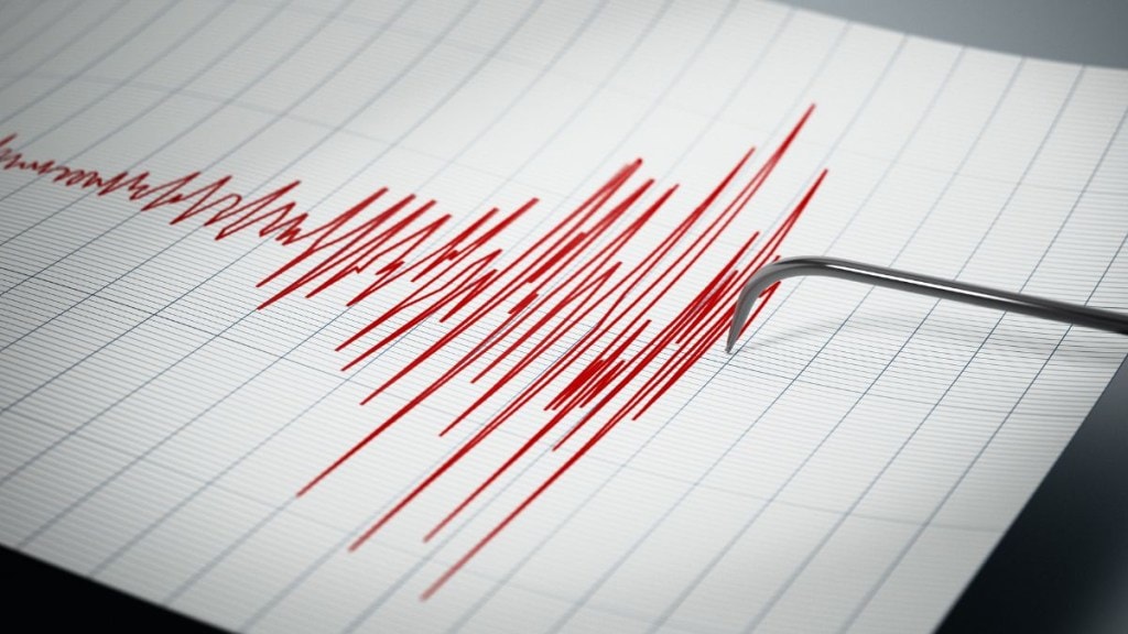
The National Centre for Seismology (NCS) reported a 4.2 magnitude earthquake in Pakistan at 16:00:05 IST this Monday. This is the second earthquake to hit Pakistan in less than a week.
Pakistan struck by earthquakes
An earthquake with a magnitude of 4.2 on the Richter Scale hit Pakistan at 16:00:05 (IST) today: National Center for Seismology (NCS) pic.twitter.com/KCEHhJWPoG
— ANI (@ANI) May 5, 2025
Pakistan has experienced two earthquakes in quick succession recently. Following today’s 4.2 magnitude tremor, a 4.4 magnitude earthquake struck the country on April 30th at 21:58:26 IST. The National Centre for Seismology (NCS) located its epicentre at 31.08°N, 68.84°E, with a depth of 50 kilometres, sharing the details on X.
Prior to this, on April 12th, Pakistan was also hit by a 5.3 magnitude earthquake at 13:00:55 IST (epicentre: 33.70°N, 72.43°E, depth: 10 km), as reported by the NCS.
Pakistan’s Geography
Pakistan is located at a strategic location as a gateway to Central Asia and the Middle East, it geologically overlaps both the Eurasian and Indian tectonic plates. Balochistan, the Federally Administered Tribal Areas, Khyber Pakhtunkhwa and Gilgit-Baltistan provinces lie on the southern edge of the Eurasian plate on the Iranian Plateau. Sindh, Punjab and Pakistan-occupied Jammu and Kashmir provinces lie on the northwestern edge of the Indian plate in South Asia.
(With ANI Inputs)

