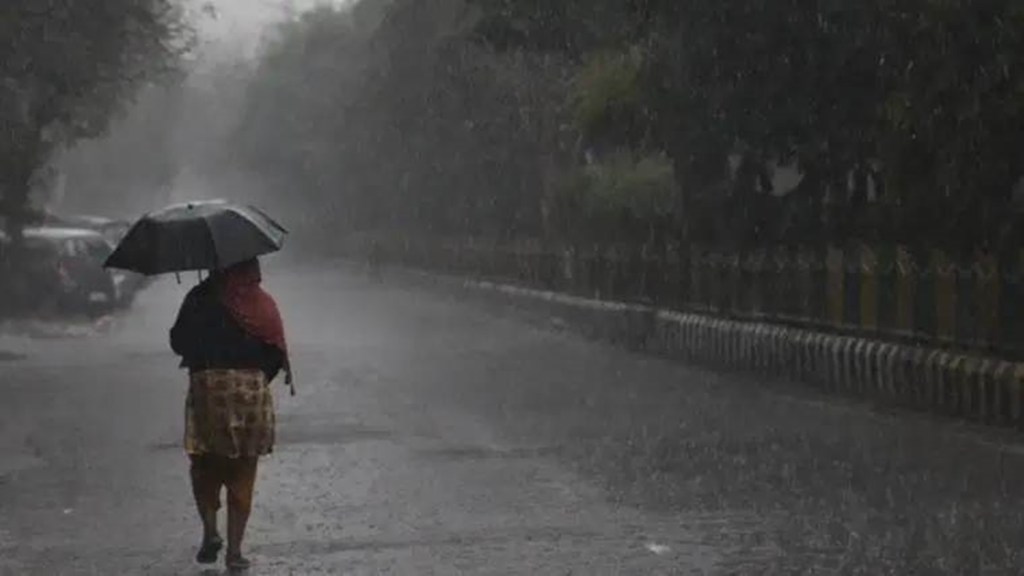
After missing its earlier forecast of the southwest monsoon onset on Sunday, the India Meteorological Department (IMD) on Monday said that a low-pressure area over the Arabian sea would likely develop into a depression by Tuesday, helping the monsoon advance towards Kerala coast over the next couple of days. However, the weather department refrained from a definite forecast of the start of the seasonal rains, which account for 75% of the country’s annual rainfall.
No change has, however, been made to the IMD’s April 11 forecast that the precipitation this year would be in the “normal” range, at the 96% of the long-period average (LPA) Private weather forecasting agency Skymet had earlier said monsoon precipitation this year could be “below normal” at 94% of the LPA. Rainfall between 96-104% of the LPA is considered “normal”.
Monsoon normally sets in over Kerala on June 1, with a standard deviation of about seven days. In the last 10 years, the earliest arrival was in 2018 and 2022 (May 29), and the most delayed onset was in 2019 (June 8). “Formation and intensification of this system and its near north-ward movement is likely to critically influence the advance of southwest monsoon towards Kerala coast,” the IMD said.
“We will provide an update on the onset date for the monsoon in the next couple of days,” an IMD official told FE.The met department’s forecast last month for the onset of monsoon over Kerala coast on June 4 had an an error margin of four days.Skymet had earlier predicted the monsoon onset on June 7, with an error margin of three days. “The southwest monsoon is likely to arrive within this bracket,” it had said.
According to Skymet, onset criteria require rainfall for two consecutive days over Lakshadweep, Kerala and Coastal Karnataka. It said that the spread and intensity of rainfall may match these requirements on June 8- 9.After the onset, the four-month monsoon covers the country by June-end, when farmers begin sowing of kharif crops such as paddy, coarse cereals, pulses and oilseeds.Last month, the official weather agency had stuck to its forecast of a “normal” monsoon for this year, as it released the second long-range outlook shortly ahead of the annual phenomenon. The adverse impact of likely El Nino conditions will be offset by positive “Indian Ocean Dipole”, a measure of Indian Ocean surface temperature, it had said.
The Met department’s forecast was despite it seeing a 90% chances of El Nino conditions developing in July and impacting August-September rainfall. It sees the probability of the country getting “normal” or “excess” rainfall in the range of 43-55%.The prospects of a normal monsoon comes as a relief to the farm sector, which relies on monsoon rainfall for crops grown in over a half of the net cultivated area. Key kharif crops like paddy, tur and soyabean are significantly rain-fed even now, though irrigation has improved significantly in the last two decades.
With rainfalls being normal or above-nornal in the last four years, even a marginally below normal rainfall this year may not hit crops hard this year, unless the distribution is heavily skewed. The water levels at key resevoirs stood at 6% less than the year ago level on June 1, but it was still 21% higher than the average of the last ten years . Adequate monsoon rains also ensure adequate soil moisture for rabi crops like wheat, mustard and chana.Rainfall between 90-95% is considered ‘below normal’ and precipitation below 90% of LPA is termed ‘deficient’.Rainfall received between 104-110% of benchmark fall in the ‘above normal’ category while volume of rainfall above 110% of LPA is refereed as ‘excess’. The LPA is average rainfall received during 1971-2020 at 87 centimetres.
