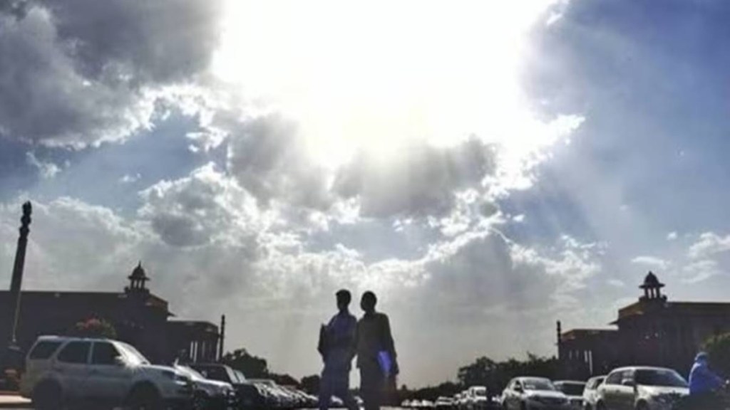
The India Meteorological Department (IMD) announced in its latest weather forecast that the heatwave will be back in parts of central and peninsular India from April 2nd to April 4th. A thunderstorm activity and enhanced rainfall can carry on over the Northeast for the next four days.
Heatwave conditions will probably take place in isolated areas over Madhya Pradesh, the interior of North Karnataka, and Telangana. Odisha is expected to experience warm night conditions during the same period. It can also be there in Maharashtra and Madhya Pradesh till April 3rd.
Hot and humid weather will persist in Kerala, Rayalaseema, Puducherry, Mahe, Tamil Nadu, coastal Andhra Pradesh, and Yanam.
The Western Himalayas region is likely to be affected by Western disturbances from April 1st till the night of April 2nd and may appear on April 5th too. As a result, it will lead to moderate rainfall/snowfall with isolated thunderstorms and lightning can be seen in Himachal Pradesh, Uttarakhand, Jammu and Kashmir, Ladakh, Muzaffarabad, Gilgit and Baltistan from April 3rd and will continue till April 6th. A very light isolated rainfall will be over Chandigarh, Punjab, and Haryana starting from April 3rd and will last till April 5th.
In Lower tropospheric levels, a cyclonic circulation is found over North-south and northeast Assam. It can be seen from east Bihar to North Bengal. Under this effect, a widespread, moderate rainfall/snowfall along with isolated thunderstorms and lightning is expected to be over Assam, Meghalaya, and Arunachal Pradesh from today and will continue till April 4th. Light to moderate rainfall will take place over Mizoram, Tripura, Manipur, and Sikkim from today and will last for the next three days.

