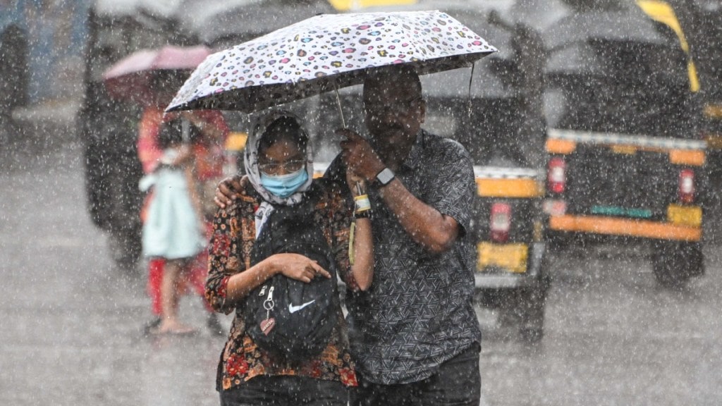
Cyclone Senyar formation: A low-pressure system over the Strait of Malacca and the nearby South Andaman Sea is expected to grow stronger and may turn into a cyclone over the Bay of Bengal around November 26. If it becomes a cyclone, it will be named ‘Senyar’, which means “lion.” The name was suggested by the United Arab Emirates, one of the 13 countries that help name cyclones in the North Indian Ocean.
The Bay of Bengal often creates strong cyclones around September and October. Recently, cyclone Montha formed in late October and caused two deaths and damaged over 80,000 hectares of crops.
Cyclone Senyar: When will it hit land?
Meteorologists say it is too early to know the exact direction of the system. It could affect weather along the Bengal coast, but experts are not sure whether it will move towards the Tamil Nadu–Andhra Pradesh coast or curve towards Odisha or Bangladesh. A clearer picture will emerge once it strengthens into a cyclonic storm. For now, authorities have asked people along India’s east coast to stay alert and follow official updates.
The weather department has already issued a heavy rain warning (105-204 mm in 24 hours) for the Andaman and Nicobar Islands, where rain is likely to continue until Tuesday.
Here’s a simple rewritten version without changing the quotes:
How Cyclone Senyar will impact Maharashtra and Tamil Nadu weather
Cyclone Senyar is expected to have a slight effect on the weather in Maharashtra, including Mumbai. As per the forecast, Cyclone Senya is expected to move towards the coasts of Tamil Nadu, Andhra Pradesh, and Odisha. Because of this system, Mumbai may see light to moderate rainfall over the next few days, mainly in coastal and western areas of the city.
However, the strongest effects of the cyclone will not be in Maharashtra.
Cyclone Senyar: Which places will receive heavy rain?
The Andaman and Nicobar Islands will experience the first strong impact from today. Rainfall is expected to increase in both island groups over the weekend. Winds may blow at 35-45 km/hr, with gusts reaching 55 km/hr, and may further strengthen to around 65 km/hr on November 25.
“Heavy to very heavy rainfall is likely over Andaman & Nicobar Islands during 23rd-28th. Heavy rainfall very likely over Tamil Nadu, Kerala & Mahe during 23rd–25th; Lakshadweep, Coastal Andhra Pradesh & Yanam during 23rd & 24th, Rayalaseema on 23rd, with very heavy rainfall over Tamil Nadu, Kerala & Mahe on 23rd & 24th November,” India Meteorological Department (IMD) said.
Schools closed in several districts of Tamil Nadu
Due to continuous heavy rainfall, Tamil Nadu has closed schools in several districts. The IMD also said that light to moderate rain will continue in many parts of Tamil Nadu, Puducherry and Karaikal, with thunderstorms and lightning expected in some isolated areas.
“Heavy rain is likely to occur at isolated places over Kanyakumari, Tirunelveli, Tenkasi, Thoothukudi, Ramanathapuram, Virudhunagar, Pudukkottai, Thanjavur, Tiruvarur, Nagapattinam, Mayiladuthurai districts and Karaikal area,” the weather department added.

