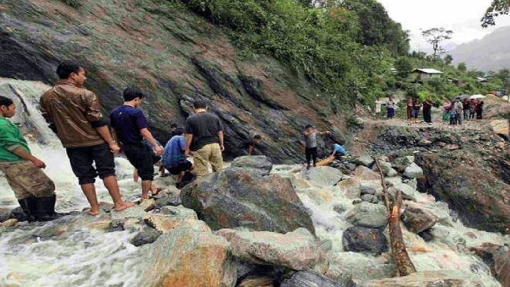
The heavy rains have triggered landslides and mudslides in the vast mountain stretch which lies along the international border.
In Jammu and Kashmir, the situation is more alarming as several nullahs and waterbodies are flowing close to the alert mark, with the prediction of more rains.
In one of the major accidents, two soldiers died after being swept away by flash floods in Jammu and Kashmir’s Poonch district. While crossing the Dogra nallah in Surankote area they were swept away by a strong current.
In fact, the Mughal Road and Srinagar-Sonmarg Road are also blocked due to landslides, Jammu and Kashmir’s bound traffic has been stopped at Nagrota, Jakheni Udhampur and Quazigund.
According to the officials from the Indian army, the restoration works have started on a war footing. The connectivity at Ramban suffered badly as rain washed away the entire stretch of the road which leads to the tunnels. Recently, in he Ramban district, government has opened five tunnels between two main major tunnels of Qazigund-Banihal and Chenani-Nashri tunnel and three more tunnels are under construction.
Restoration work has resumed along the NH 44 at Panthyal motorable until the road’s damaged portion between tunnels T-5 and T-3 is restored.
The situation is still alarming in many parts of J&K and a red alert has been issued for Jammu and Kashmir’s Kathua and Samba districts along with lower catchment areas as water levels in rivers and streams cross the danger mark.
Further in the northeast, in Arunachal Pradesh, the key connecting road to the border– Nacho-Tama Chung Chung Road in Upper Subansiri district of Arunachal Pradesh –- has been severely damaged. However, some part has been restored, according to the official from the Broder Road Organization (BRO).
In fact, the road connects to the last mile leading up to Taksing, Maza, and Limeking along the China-India border.
From high mountain passes to the flat river bed, the international border in Punjab is also badly affected due to heavy rains in the upper hills. The villages which lie along the international border like Kaluwala, Tendiwala and Nihala Kilcha in Ferozepur are submerged, as reported. In fact, the marked areas across the international border have also sunk into the ground on both sides of India and Pakistan.
“The barbed wire which divided the International border is invisible along the long stretch due to flooding,” informs a local journalist.
However, the army with civilian authority has taken measures, releasing water at Hussainiwala. Besides, to control the continuous flow from the upper hills, at Hari Ke, 29 gates were opened towards Pakistan.
The villages along the Sutlej River are still in the danger zone with the rising water level, according to local officials.
