Rohan Verma
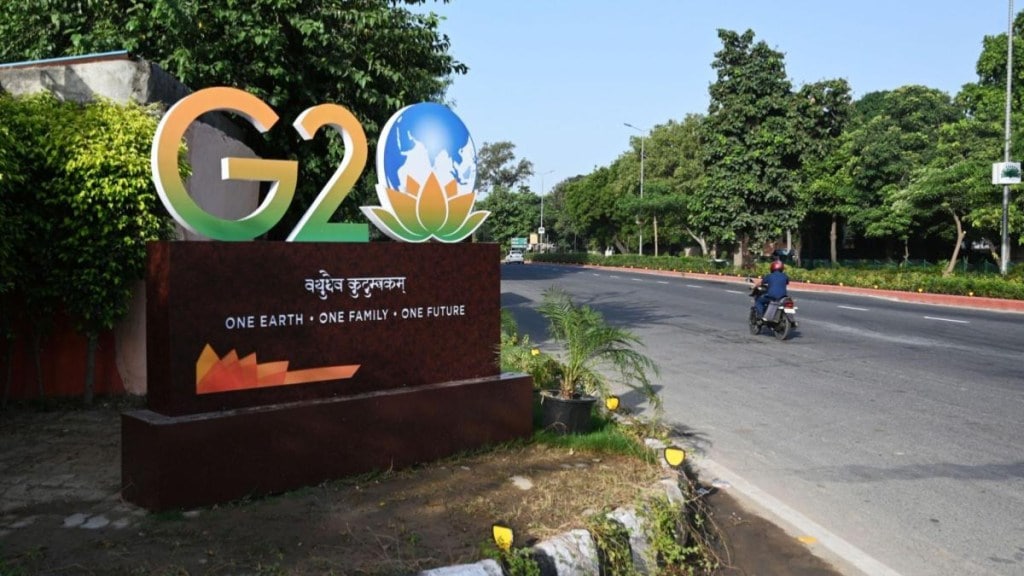
India’s ascent to host the 18th G20 Summit is not just a diplomatic milestone; it signifies the nation’s increasing influence on the global stage. The G20, comprising 19 of the world’s largest economies and the European Union, is an indispensable platform for global economic cooperation and policymaking. As the host of the upcoming summit, India finds itself in a unique position to shape the global agenda, foster international collaboration, and address pressing global challenges.
As India is hosting the G20, the need is to explore the significance of the G20 and the transformative role that leading Indian technology companies can play in advancing the objectives of this influential international forum. The momentous occasion presents an opportunity for various companies/corporates in India to gain international exposure and establish partnerships with global players. It is an opportune time to advocate for policies that are favourable for healthy economic growth, especially the ones related to the technology interventions that are an inseparable part of any industrial growth.
Companies/corporates, with expertise in digital mapping and location-based services, would like the discussions to focus on data privacy, geospatial regulations, and standards. Mapping and geospatial intelligence solutions can contribute significantly to the G20’s sustainable development agenda. By providing accurate and up-to-date geospatial data, companies can enable better urban planning, disaster management, and infrastructure development, all essential for achieving the Sustainable Development Goals (SDGs).
In an increasingly interconnected world, navigation services are instrumental in facilitating trade and connectivity. The advanced navigation systems enhance transportation efficiency, reduce trade barriers and promote economic growth. The solutions provided by digital mapping and navigation companies can assist in monitoring and mitigating the impact of climate change by providing real-time data on air quality, weather conditions, and emissions, helping member countries meet their climate goals.
Mappls MapmyIndia’s efforts to bridge the digital divide in rural and remote areas of India can serve as a model for G20 countries striving to ensure equitable access to technology and information, a crucial aspect of sustainable development. The opportunity should be taken up by digital mapping and navigation companies to partner with cities worldwide to develop smart city solutions that enhance urban planning, transportation, and environmental sustainability—areas of great relevance to the G20’s agenda.
Also, Mappls MapmyIndia is working closely with the organisers of G20 to help ensure the country delegations movement is smooth during this time using our IoT and location technologies. The detailed 3D and 360-degree maps and metaverse of the outdoor and indoor that it has built for various G20 venues such as the Bharat Mandapam and also what it showcased for the Bangalore Digital Economy Working Group finale, is cutting-edge, showing more advanced maps and their benefits than typical foreign solutions.
The idea is not just supporting India and Bharat’s needs through the Mappls MapmyIndia stack, but bringing the tech stack of MapmyNation to every country across the world, especially the Global South, as part of Digital Public Infrastructure, to enable every country to become advanced and Aatmanirbhar in the area of digital mapping and geospatial tech, exporting products and platforms to India, so the world can benefit from India’s own technology.
The time has come to realize that digital mapping and navigation companies can play a crucial role in facilitating cross-border trade and contributing to economic development by providing accurate geospatial information and navigation services. Accurate digital maps and navigation systems enable logistics and supply chain operators to plan and optimize international shipments reducing transit times, minimizing costs, and enhancing overall efficiency. Effective navigation systems assist in directing commercial vehicles to appropriate border crossings and inspection points, ensuring compliance with customs procedures.
In short, digital mapping and navigation companies are indispensable enablers of cross-border trade and economic development. Their accurate and real-time geospatial information, navigation guidance, and logistics optimization capabilities enhance the efficiency and competitiveness of international trade, contributing to economic growth and regional integration. These companies serve as essential partners for governments, businesses, and trade organizations seeking to unlock the full potential of cross-border commerce.
The G20 forum holds significant importance for India, offering opportunities to advance its economic, development, and technological agendas on the global stage. For technology companies like Mappls MapmyIndia, G20 participation brings exposure, partnerships, and the chance to influence policies that can foster innovation and growth. As India continues to embrace its role as a global technology leader, leveraging the G20 platform becomes increasingly essential for companies to contribute to the nation’s development and global technological advancements.
Delhi Police and MapmyIndia come together
In the meantime, it’s a privilege at Mappls MapmyIndia to serve the G20 agenda and needs of our country and citizens, and glad to bring numerous capabilities and benefits of digital maps and location tech to everyone. Residents and visitors used the Mappls app to navigate smoothly and accurately in Delhi during the summit. It is worth mentioning that Delhi Police and Mappls MapmyIndia had teamed up to streamline traffic during the G20 summit in Delhi.
With Mappls, citizen received official Delhi Police advisories and found help in ambulance assistance, G20 traffic advisory, nearest police stations, visual traffic, and important destinations. Additionally, one can avail real-time traffic updates and information on route closures and diversions. Get a route to a navigable nearby place during traffic restrictions. In addition, make the most out of the junction views, safety alerts, speeding alerts and more.
The author is CEO and ED, Mappls MapmyIndia.
Disclaimer: Views expressed are personal and do not reflect the official position or policy of Financial Express Online. Reproducing this content without permission is prohibited.

