-
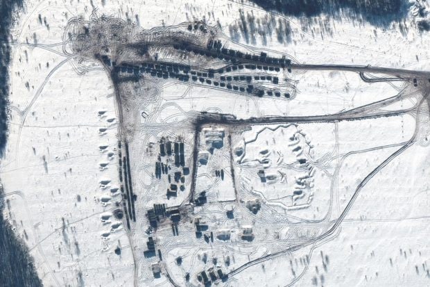
Widely available commercial satellite imagery of Russian troop positions bracketing Ukraine provides a bird’s-eye view of an international crisis as it unfolds. (Maxar Technologies via Reuters Photo)
-
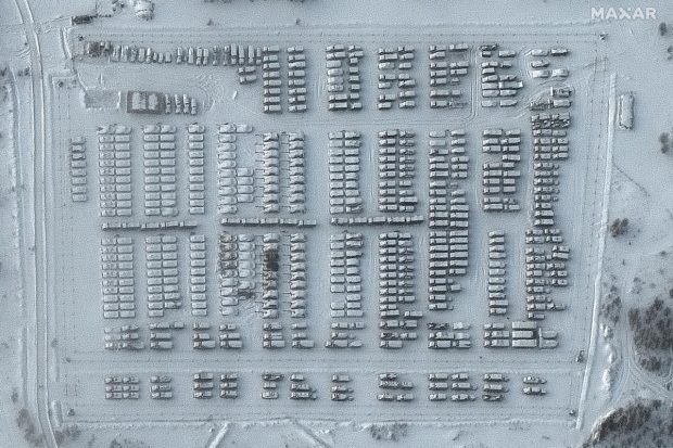
High-resolution photos in recent days showed Russian troop assembly areas, airfields, artillery positions and other activities on the Russian side of the Ukrainian border and in southern Belarus as well as on the Crimean Peninsula, which Russia seized from Ukraine in 2014. (Maxar Technologies via AP Photo)
-
The images confirmed what U.S. and other Western officials have been saying: Russian forces are arrayed within striking distances of Ukraine. (Maxar Technologies via Reuters Photo)
-
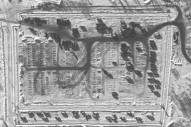
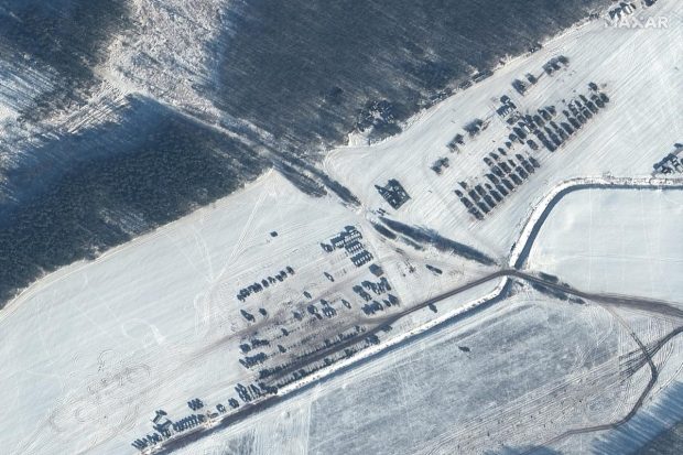
But they could not provide conclusive information about net additions or subtractions of Russian forces or reveal when or whether an invasion of Ukraine would happen. (Maxar Technologies via Reuters Photo)
-
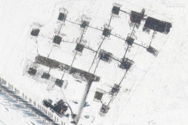
In this image a closer view of a helicopter unit can be seen in Belgorod, Russia. (Maxar Technologies via Reuters Photo)

US lawmaker proposes complete ban of H-1B visa program