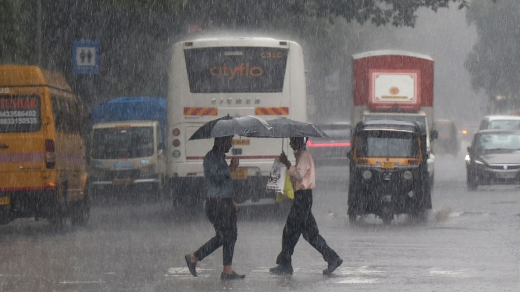
An orange alert has been issued for several parts of Tamil Nadu, including Chennai, because of a low-pressure system forming over the Bay of Bengal. This system – an upper-air circulation linked to a low-pressure area – is likely to bring heavy to very heavy rain to the state over the next four days, according to IMD Tamil Nadu.
Districts such as Chengalpattu, Chennai, Kancheepuram, Villupuram, Cuddalore, Ariyalur, Mayiladuthurai, Nagapattinam, Thanjavur, Tiruvarur, Pudukkottai and Ramanathapuram, along with Puducherry and Karaikal, are all under an orange alert.
Light to moderate rain is expected in Tiruvallur, Kallakurichi and Perambalur.
— IMD-Tamilnadu Weather (@ChennaiRmc) November 16, 2025
Tamil Nadu government issues safety advisory
Because of the heavy rain, the Tamil Nadu government has asked district officials to take safety measures. Fishermen have been warned not to go into the Gulf of Mannar and Kanniyakumari waters, where strong winds of 35-45 kmph, and gusts up to 55 kmph, are expected.
Schools to remain closed
School holidays have been announced in Chennai and several other districts including Chengalpattu and Tiruvallur after the weather office issued a heavy rain alert for the state.
Following a night of continuous rain and flooding in low-lying areas, district collectors have declared a holiday for all government, private and aided schools on November 17. Authorities have also shared safety advisories, asking parents to avoid unnecessary travel since many main roads in Chennai are flooded.
Other regions likely to receive heavy rainfall
The weather department has also predicted heavy to very heavy rain in Kerala, Mahe, Coastal Andhra Pradesh, Yanam, Rayalaseema and the Andaman and Nicobar Islands.
A low-pressure area over the southwest Bay of Bengal, near the Sri Lanka coast, has remained almost stationary as of 5:30 am on November 16. Meteorologists say the connected cyclonic upper-air circulation extends up to 5.8 km above sea level and tilts southwest as it goes higher. This system is likely to move slowly in a west-northwest direction in the next 24 hours.
Another upper-air cyclonic circulation is present over south Bangladesh and nearby areas, extending up to 1.5 km above sea level.
A separate cyclonic circulation is also active over the southeast Arabian Sea and the South Kerala coast at around 0.9 km above sea level.

