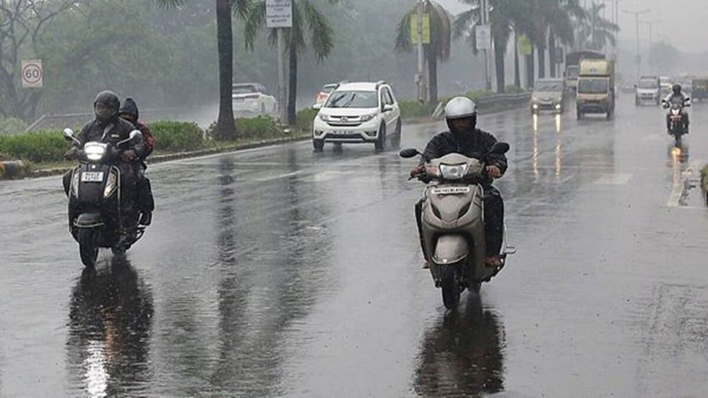
After a sluggish progress following a late onset over the Kerala coast on June 8 and cyclonic storm Biparjoy crossing its path, conditions are becoming favourable for further progress of the monsoon over the south peninsula and eastern India during the next week, weather experts and forecasters said.
Private weather forecaster Skymet said the current depression over central parts of Rajasthan will move gradually over central and east Uttar Pradesh as a low-pressure area, which would pull monsoon currents from the Bay of Bengal.
“Rain activities may increase gradually over Bihar, Jharkhand, and West Bengal between June 18 and 21 and there are chances of the monsoon reaching east Uttar Pradesh by June 23,” said a Skymet statement.
Meanwhile, Indian Meteorological Department (IMD) on Saturday said a deep depression, remnant of cyclonic storm Biparjoy, persists over southwest Rajasthan and Gujarat, which would bring heavy showers in the Saurashtra and Kutch regions and parts of western Rajasthan in the next couple of days. Mrutyunjay Mohapatra, director-general, IMD, said the monsoon will progress into the south peninsula, parts of Karnataka, Rajasthan, Madhya Pradesh and the eastern states during June 18-22.
After delayed arrivals in the past four years over Kerala, the monsoon has covered the entire northeast, Tamil Nadu, Kerala, parts of Andhra Pradesh, Karnataka and a few parts Bihar and West Bengal so far.
“An active phase of the monsoon intraseasonal oscillation over western, central and eastern India in the coming days will play important role in this rapid progression,” Akshay Deoras, research scientist, National Centre for Atmospheric Science and Department of Meteorology, University of Reading, United Kingdom, said in a tweet. He said an improvement in rainfall in many regions of the country can be expected between June 25 and early July. The cumulative monsoon rainfall across the country, according to IMD during June 1–17, has been 42% less than the benchmark long period average (LPA). In terms of regional variations, monsoon deficiency has been 61% (central India) and 54% (south peninsula) so far.
Madhavan Rajeevan, former secretary, ministry of earth sciences, said models suggest a monsoon revival by June 20 with active conditions along the west coast, over Bay of Bengal and central India. However, IMD has predicted heat wave to severe heat wave conditions are likely to continue over east, central and east peninsular India during the next 3-4 days and gradual abatement thereafter. No change has been made to the IMD’s April 11 forecast that precipitation this year will be in the normal range, at 96% of the long-period average (LPA). Skymet had earlier said monsoon precipitation this year could be “below normal” at 94% of the LPA. Rainfall between 96-104% of the LPA is considered “normal”.
Southwest monsoon season (June-September) accounts for 75% of the country’s annual rainfall. After the onset of monsoon covers the entire country by the end of June, farmers begin sowing of kharif crops such as paddy, coarse cereals, pulses and oilseeds.

