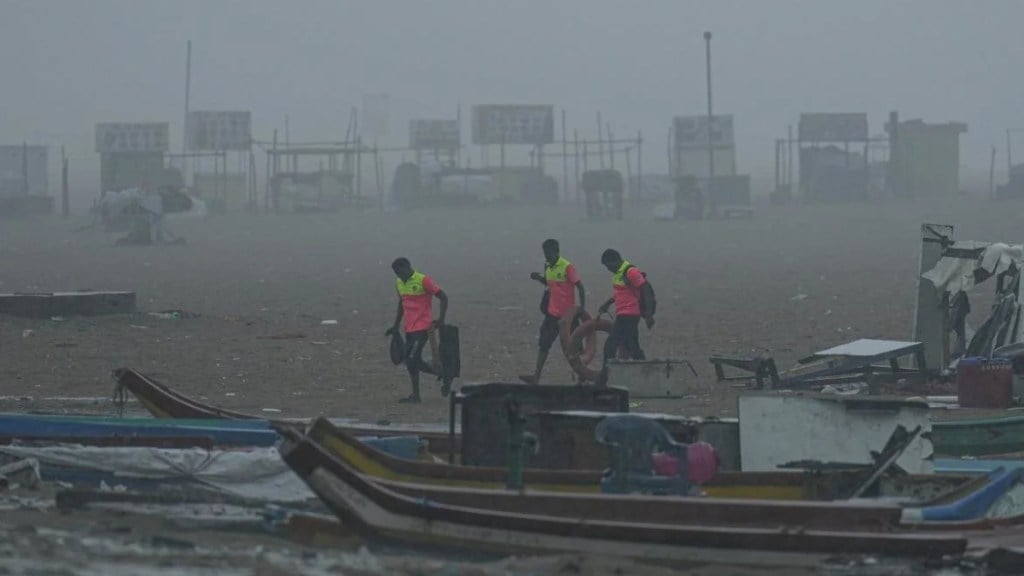
Cyclone Fengal is expected to make landfall on the Tamil Nadu coast on Saturday evening, with authorities warning of significant impact, particularly in coastal regions. Dr. S. Balachandran, Director of the Regional Meteorological Centre in Chennai told news agency ANI on Friday that the cyclone will primarily affect the coastal districts, with the crossing point likely between Karaikal and Mahabalipuram, near Puducherry. He noted that the region will experience strong winds, reaching speeds of 50-60 km/h with gusts up to 70 km/h. Additionally, rainfall will be heavy to very heavy, especially in areas from Karaikal to Mahabalipuram, where extreme rainfall is expected. Balachandran highlighted that from late Friday into Saturday, the region will witness intense rainfall, particularly around 1 to 2 PM.
Cyclone Fengal Warnings Issued for Tamil Nadu, Andhra Pradesh
The Indian Meteorological Department (IMD) has issued a red alert for several southern states due to the approaching Cyclone Fengal. Ananda Das, Head of the IMD’s Cyclonic Division, confirmed that the cyclone, now a cyclonic storm, is expected to intensify slightly before making landfall on the Tamil Nadu coast. This will bring strong winds with speeds of 70-80 km/h, gusting up to 90 km/h. The cyclone’s impact will also affect South Andhra Pradesh, Kerala, and interior Karnataka, with heavy rainfall predicted until December 1.
Meanwhile, the Visakhapatnam Cyclone Warning Centre in Andhra Pradesh has issued an ‘extremely heavy rainfall’ warning for the districts of Nellore, Tirupati, and Chittoor. Authorities have also advised fishermen in Puducherry and nearby areas to stay off the sea and move their boats and equipment to higher grounds in anticipation of possible flooding and storm surges. Residents in affected regions are urged to follow safety advisories and stay alert to weather updates.

