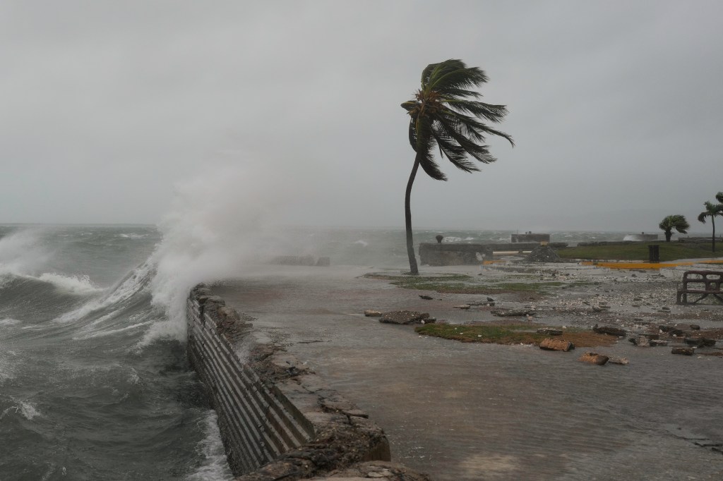
Hurricane Melissa strengthened into a Category 5 storm this week as it barrelled towards Jamaica — with authorities braced for catastrophic winds, flash flooding and landslides. It is believed to be one of the strongest Atlantic hurricanes in history and currently. The US National Hurricane Center in Miami also warned people in the storm’s path as landfall neared Tuesday morning that this is the “last chance to protect your life”. A US Air Force plane also flew into the eye of the Hurricane on Monday to collect vital data for the NHC — sharing stunning footage from the journey.
The storm is expected to slice diagonally across the island with 185 mph (295 kph) winds before hitting Cuba. The Jamaican government said it had done all it could to prepare as it warned of devastating damage from the strongest hurricane to hit the island since recordkeeping began 174 years ago.Landslides, fallen trees and numerous power outages were reported ahead of the storm and officials warned that “total structural failure” was also possible near the centre of the storm.
“There is no infrastructure in the region that can withstand a Category 5. The question now is the speed of recovery. That’s the challenge,” Prime Minister Andrew Holness said.
US Air Force plane flies into eye of hurricane
A US Air Force plane flew into the eye of Hurricane Melissa on Monday to gather data for the National Hurricane Center — sharing footage of the journey on social media. The clips— filmed by the ‘Hurricane Hunter’ crew — showed a rare weather phenomenon known as the ‘stadium effect’ with towering cloud walls curving around a tranquil, blue centre. The Mississippi-based Weather Reconnaissance Squadron was part of a data-gathering mission to model a the strength, direction and impactof the storm.

