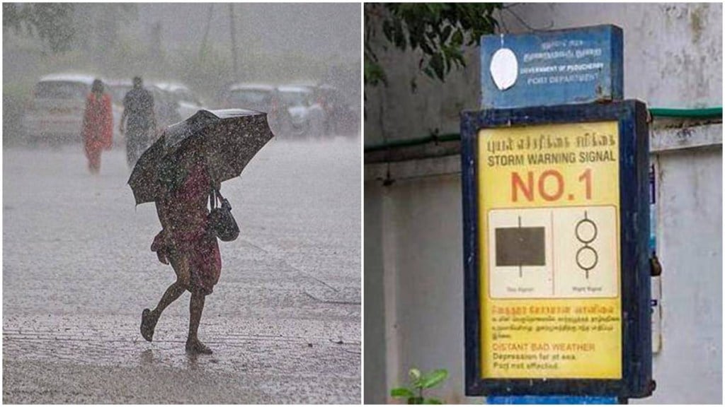
As cyclonic storm Montha intensifies over the Bay of Bengal, the Odisha government has begun emergency preparations amid forecasts of heavy rain, strong winds, and rough seas across several districts. The India Meteorological Department (IMD) has placed the state on yellow alert. While the cyclone is not expected to make a direct landfall in Odisha, it is likely to bring inclement weather.
The depression is forecast to strengthen into a severe cyclonic storm and approach the Andhra Pradesh coast on October 28, leading to alerts along Odisha’s coastline.
In its weather alert, IMD urged people to stay alert and take necessary precautions. “Heavy to very heavy rainfall is likely over several southern and eastern states in the coming days. States affected: Tamil Nadu, Kerala, Coastal Karnataka, Andhra Pradesh, Rayalaseema, Odisha, Saurashtra & Chhattisgarh. Dates: Oct 26–30, 2025. Extremely heavy rain is expected in Rayalaseema, Coastal Andhra Pradesh, and south Odisha on select days. Stay updated and take necessary precautions.”
Indian Army has been placed on high alert
As per the latest updates, two weather systems are developing over the East-Central Arabian Sea and the South-East Bay of Bengal are predicted to strengthen into Cyclone Montha within the next 48 hours, officials said, as reported by ANI. The evolving situation is being assessed regularly in coordination with the National Disaster Management Authority (NDMA) and with the respective state administrations.
Cyclone Montha – 10 key developments
1. Depression strengthens over Bay of Bengal: The IMD stated that a depression over the southwest Bay of Bengal has been moving west-northwest, leading to heightened caution for eastern coastal sites.
2. Cyclonic storm Montha expected by October 27: The weather system may develop into a deep depression on October 26 and intensify into a cyclonic storm over the southwest and adjoining west-central Bay of Bengal in the morning of October 27.
3. Expected landfall near the Andhra Pradesh coast: As per the met department, the weather system is expected to turn into a severe cyclonic storm by the morning of October 28 and cross the Andhra Pradesh coast between Kalingapatnam and Machilipatnam around Kakinada on the evening or night of October 28. The maximum sustained winds are expected to be of 90-100 kmph gusting to 110 kmph.
4. Odisha is not in the direct landfall zone: As per ANI report, although the system will hit Andhra Pradesh, southern Odisha districts fall under the “cone of uncertainty,’’ leaving the possibility of heavy rain and gusty winds.
5. IMD issues red and orange alert: IMD Bhubaneswar has issued red alert for extremely heavy rainfall from October 28-29 for Ganjam, Koraput, Gajapati, Koraput, Rayagada and Malkangiri. Meanwhile, southern districts have been placed under orange and yellow alerts.
6. Heavy downpours likely from October 27-30: Moisture inflow from the Bay is expected to cause three consecutive days of rainfall in south Odisha.
7. Sea to turn rough to very rough: Marine conditions along the Odisha coast are predicted to become rough from October 26 evening and escalate to high between October 28 morning and early October 29, before gradually easing.
8. Strong coast winds expected: Stormy winds may reach around 80 kmph along the south Odisha coast on October 28, slowly weakening from October 29.
9. Fishermen are advised to stay ashore from October 26 to October 29, and those already at sea are to return immediately.
10. Odisha activates disaster response: The Revenue and Disaster Management Minister Suresh Pujari told ANI that medicines, supplies, and emergency teams from NDRF, Fire Services and ODRAF are on standby. Leaves of important staff in vulnerable districts have been cancelled, and public announcements are being made in coastal areas to caution fishermen.

