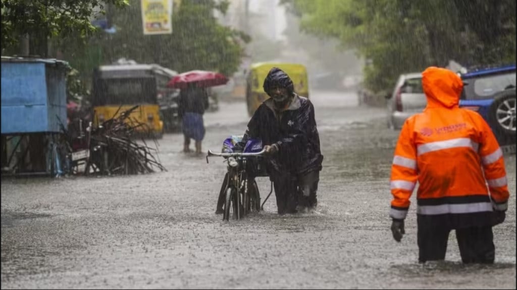
Chennai is submerged under rainfalls and heavy disruptions caused by the cyclone ‘Michaung’. It is the fourth cyclone developed in the Bay of Bengal this year. The city witnessed a shutdown, with local transport facilities coming to a halt, and the air traffic blocked, considering the storm caused by the cyclone. Even though the cyclone has now reached Andhra Pradesh, it is a repetitive question regarding the infrastructure of Chennai, the fifth largest city in India and the home to 6.7 million people, failing to be prepared for floods and water-logging.
Climate
Chennai, one of the oldest urban centres of the country, has three rivers, and 7 lakes in the vicinity of a 100-km radius, and still faces water-logging every year. The city is one of the wettest in the state and receives around 1400mm of rainfall annually. The majority of the rainfall experienced by the city is during the North East monsoon between October and December.
Day Zero
Unfortunately, the same city experienced day zero in 2019, when all four reservoirs of the city went dry after three consecutive dry monsoons in 2016, 2017 and 2018. Tamil Nadu had a forest cover of just 20 per cent of the total area in 2015. That remained constant at just 20.31 per cent, according to the ISFR reports published biennially.
Population burden
The rapid urbanisation of the city and a population blast over the last few decades witnessed the population of the city expanding from 53.5 lakhs in 1991 to 1.19 crores in 2023, which has stressed the water resources available in the city. Factors such as good education, jobs and opportunities attract mass migration to the city.
The population density in Chennai is over 26,000 people per square kilometre as per the 2011 population census, as compared to just over a thousand in smaller cities such as Kanyakumari. This has increased with time.
Failed Drainage system
Deforestation to accommodate a large influx of people is a very common factor. But this population has hampered the drainage system of the city. The City is drained by 2 rivers besides several major & minor drains through Buckingham Canal into the Sea via Ennore Creek, Cooum Mouth, Adyar Mouth and Kovalam Creek.
Some of the reasons for several floods quoted several times by the authorities in the reports include the flow of untreated sewage, Disposal of solid waste and construction debris, slums in the flood plains directly feeding sewage and solid waste, etc. causing low flood discharge.
The larger water bodies are unable to help flood discharge because of reduced width due to encroachment, bed slopes flattened due to siltation and solid waste dumping, and drains obstructed by the massive construction of inadequate culverts.
