


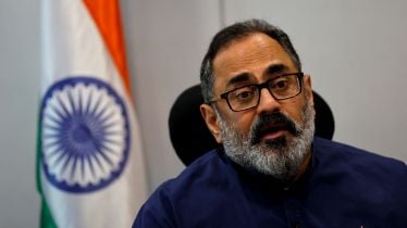
Apple iPhone 15 acknowledges two major achievements of India. Union Minister for Electronics and Information Technology Rajeev Chandrasekhar has explained how India has achieved two significant milestones with the launch of the iPhone 15 at Wonderlust event held on September 12.
According to him, the first milestone is the availability of iPhone 15 in India on the same day as it is launched in New York and London. This is for the first time in Apple’s history and marks a significant step forward for India highlighting Apple’s commitment to India and the fact that the country is now on par with other global technology leaders in terms of access to the latest and greatest products.
Also Read | MeitY to make NavIC, India-made GPS rival, mandatory in smartphones
The second milestone, Chandrasekhar explains, is the incorporation of the NavIC GPS satellite system in iPhone 15. This is home-grown technology developed by the Indian Space Research Organisation (ISRO). This is the first time that an Indian-developed satellite system will be used in a global consumer product like Apple.
In a statement, Chandrasekhar said that “the world’s largest company in technology Apple has launched its new iPhone 15. During this launch, India is achieving two milestones. First, the availability of the iPhone 15 in India would be on the same day as the availability of it in New York and London…And the second is that the NavIC GPS satellite system developed by ISRO would be present in the iPhone 15.”
Also Read | iPhone 15, 15 Pro series pre-orders in India start from today: Price, top specs, features and more
NavIC previously known as Indian Regional Navigation Satellite System (IRNSS) is a regional navigation satellite system designed with a constellation of 7 satellites and a network of ground stations operating 24 x 7 to map accurate positioning, navigation, and timing services in India and its neighbouring region. It is similar to GPS, with some advantages like better accuracy in mountainous and urban areas.
Follow FE Tech Bytes on Twitter, Instagram, LinkedIn, Facebook.


