




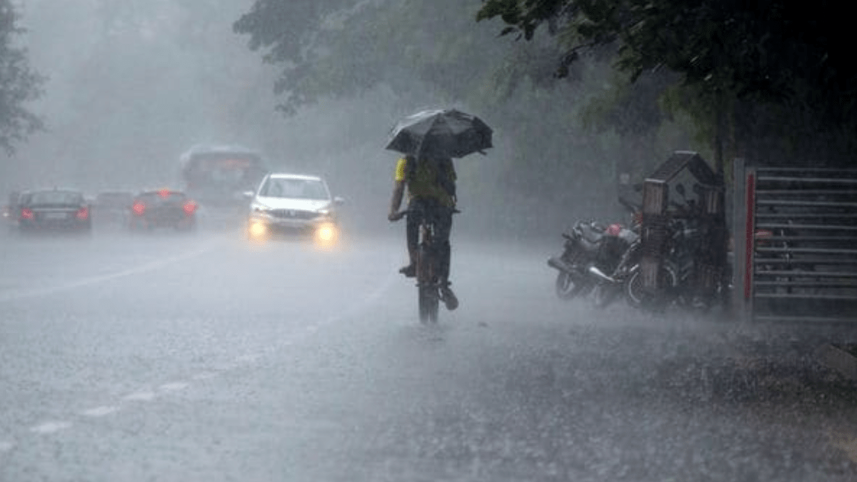
A low-pressure area over the northwest Bay of Bengal has intensified monsoon activity across eastern and northeastern India, prompting the India Meteorological Department (IMD) to issue warnings for widespread rainfall over the next seven days. It is reportedly said that Odisha is expected to bear the brunt, with isolated extremely heavy rainfall forecast on July 15, followed by heavy to very heavy rain on July 16 and 17.
In a weather bulletin issued on Wednesday, the IMD said the low-pressure area formed over the northwest Bay of Bengal off the north Odisha-West Bengal coast and is likely to become more marked while moving northwestwards across north Odisha and Gangetic West Bengal over the next two days.
East India to see heaviest rainfall
The weather office has forecast widespread rainfall across Odisha, Gangetic West Bengal, Jharkhand, Bihar, Sub-Himalayan West Bengal and Sikkim through the week.
“Heavy to very heavy rainfall at a few places with extremely heavy rainfall at isolated places over Odisha is very likely on July 15,” the IMD said.
Heavy rainfall is also expected over Bihar, Jharkhand and West Bengal, while Sub-Himalayan West Bengal and Sikkim could witness very heavy rain between July 19 and 20.
Northwest India to receive fresh spell after July 18
Rainfall activity is expected to remain relatively subdued over the plains of northwest India for the next five days before picking up again due to a fresh western disturbance likely to affect the region from July 19.
Heavy rainfall is forecast over Uttarakhand through July 19, Himachal Pradesh during July 18-19, Jammu and Kashmir from July 19-21, and Punjab, Haryana and Delhi during July 20-21.
South, west India to see subdued monsoon
The IMD said rainfall activity is likely to remain below normal over west-central and south peninsular India during the next week, although Konkan and Goa are expected to continue receiving widespread rainfall.
Kerala, Coastal Karnataka and Lakshadweep are also likely to witness intermittent rain later this week.
Delhi to remain hot and humid
For the national capital, the IMD has forecast partly cloudy skies and hot, humid conditions over the next three days.
Very light to light rain accompanied by gusty winds of 20-30 kmph, gusting up to 40 kmph, is likely during Wednesday afternoon or evening. Maximum temperatures are expected to remain between 37°C and 40°C until July 17 before easing slightly on July 18 as cloud cover increases.
Heavy rain recorded in several states
During the 24 hours ending 8:30 am on July 15, the IMD recorded:
Very heavy rainfall: Odisha and Tripura
Heavy rainfall: Uttarakhand, East Uttar Pradesh, Jharkhand, Assam, Arunachal Pradesh and Bihar.
Among the highest rainfall figures were Puri (14 cm), Kumarghat in Tripura (15 cm), Tinsukia (11 cm) in Assam and Kathgodam (10 cm) in Uttarakhand. Strong winds were also reported across several states, with gusts touching 72 kmph in Tenkasi (Tamil Nadu) and 63 kmph in Sri Vijayapuram (Andaman and Nicobar Islands).
Heatwave to continue in parts of south India
Even as heavy rain lashes eastern India, the IMD has warned of heatwave conditions over isolated pockets of Coastal Andhra Pradesh, Rayalaseema, Tamil Nadu, Puducherry and Karaikal on July 15 and 16. Hot and humid conditions are also likely over Delhi, Punjab, Haryana, Uttar Pradesh and parts of southern India over the next few days.
Advisory for residents and fishermen
The IMD warned that extremely heavy rainfall could trigger urban flooding, waterlogging, traffic disruptions, landslides, damage to vulnerable structures and standing crops, particularly in Odisha. The IMD also informed the residents to avoid waterlogged areas, monitor traffic advisories and stay away from vulnerable structures during intense rainfall.
The weather office also issued a fishermen warning, advising against venturing into several parts of the Arabian Sea and Bay of Bengal, including waters off the Odisha and West Bengal coasts, due to rough sea conditions over the coming days.


