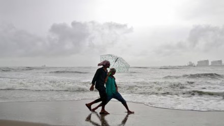
The southwest monsoon is likely to hit the Kerala coast on May 27, five days earlier than the usual onset date of June 1, the India Meteorological Department (IMD) said on Saturday. The forecast of early arrivals of monsoon comes with a model error of +/- 4 days.
Typically, the monsoon after onset over the Kerala coast in early June covers the entire country by July. These southwest monsoon rains gradually begins to recede from north India by mid-September.
“Current forecasts are not pointing towards any big factor that could significantly delay its further progress over southern and northeastern India,” Akshay Deoras, research scientist, National Centre for Atmosphere Science, University of Reading, United Kingdom, told FE. “It is not uncommon for the monsoon to reach Kerala before June 1,” he adds.
In 2022, monsoon touched down on the Kerala coast on May 29. The earliest onset date recorded this century is May 18, 2004. During the primary rainy season that spans between June-September every year, the country roughly receives 75% of its annual rainfall.
The adequate rainfall boost hopes of a robust agriculture-sector output for a second year in row this year, as kharif sowing, which is to start with the rains, accounts for about 60% of the crop production. Monsoon rains also provide soil moisture for the winter crops (Rabi crops).
Last month, IMD in its forecast predicted “above normal” monsoon rainfall during June-September this year, with 89% chance of the rains being in the “normal-to excess” range.
In terms of regional distribution, the Met department said ‘above-normal’ rainfall is expected over most parts of the country with the exception of northeast, parts of Bihar and Tamil Nadu.
“This year’s rainfall during the forthcoming monsoon season is likely to be 105% of the benchmark long period average (LPA) with an average error margin of +/- 5”, Mrutyunjay Mohapatra, director general, IMD had stated.
Given the forecast of ‘above normal’ monsoon rainfall, the government has set a record target of 354.64 million tonne (MT) for food grains production in the 2025-26 crop year (July-June).
In 2024, the monsoon was ‘above normal’ with cumulative precipitation of 108% of LPA as predicted by the weather department initially. This was the best monsoon season in four years that was followed by a patchy ‘below normal’ monsoon of 94% of LPA in 2023.
Rainfall in the range of 96-104% of LPA is considered “normal” and 105-110% ‘above normal’. The LPA is the average rainfall received during 1971-2020 at 86 centimetres.
Though higher food grains production increases the chances of another year of high growth in agriculture, the gross value added (GVA) in this primary sector of the economy is also a function of prices fetched by the farmers and other stakeholders.
Experts said the link between the quantum of rainfall and farm production has over the years become less remarkable, but the distribution pattern still has a significant bearing on crop yields.
On the basis of the operational forecast during 2005-2024 on the onset of monsoon, IMD has stated that their forecasts were on time with the exception this year.
