


PM Narendra Modi ordered the surgical strike by India against Pakistan occupied Kashmir (PoK) terror camps and the Indian Army carried it out successfully, killing over 50 jihadists and 9 Pakistani army soldiers thereby taking revenge for the Pathankot and Uri attacks. This is a huge achievement for India while Pakistan is left shamed and shocked. But what was PM Modi depending on for success? Just paradropping Indian special forces in PoK would have been foolhardy! But here is where Indian tech prowess, that PM Modi is promoting for all its worth across all fields of activity in India in the form of Digital India, including space exploration, and use by the Indian armed forces came into play. And this has ensured triumph for India against the Pakistanis. Here’s how:
The triumph was dependent on the bravery of the Indian Army soldiers, first and foremost, indubitably. Then comes India’s ‘eyes in the skies’! What is that? These are the Indian earth observation satellites and they provided the photos to the Indian Army which were used to get familiar with terrain in PoK and take the best route that would surprise the opposition and even catch them napping – people have used the phrase caught with their pants down fittingly!

With the aid of these photos, Indian Army knew exactly where they were going, where exactly the terrorist camps were, where the Pakistani armymen were and what route they should take to exit PoK successfully. So Indian Army soldiers did not go into that dangerous situation blind.
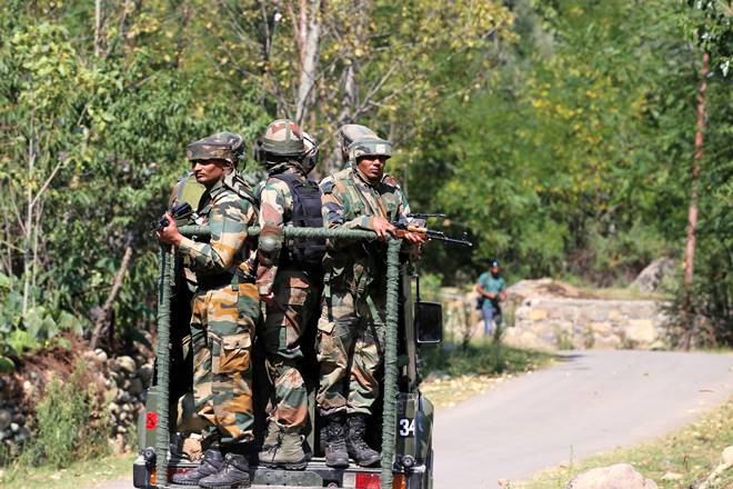
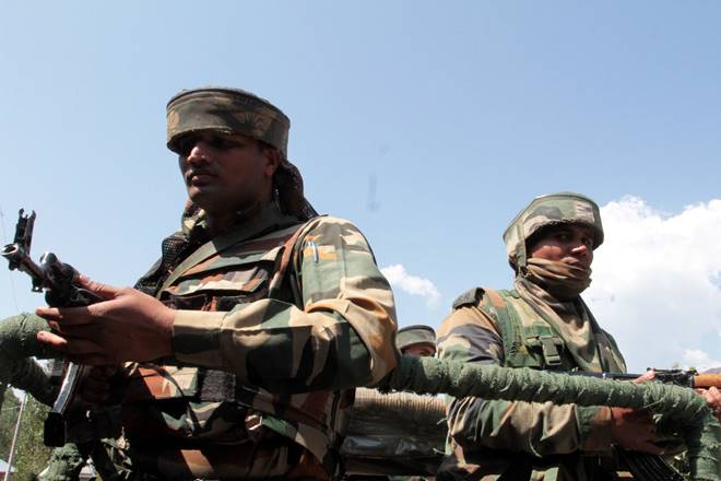
And, most importantly, they knew exactly where the terrorists were and the Indian soldiers were able to focus their fire, with guns, flame throwers, bazookas and even mortars. The terrorists died under this scorching concentrated hail of fire by the Indian forces. In fact, the effect was so great that the Indian Army was able to stay in the area for as long as 4-6 hours!
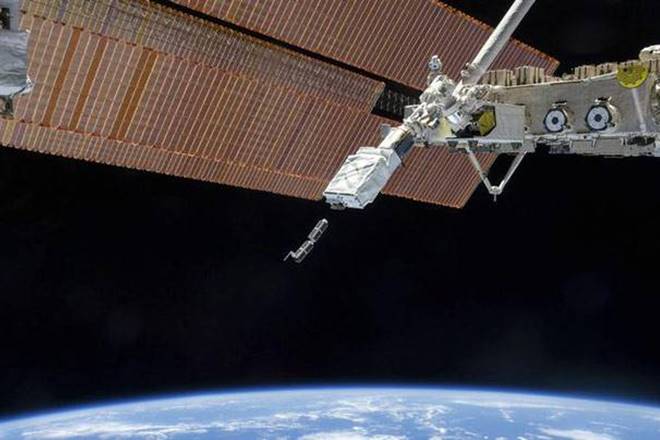
The Cartosat series of satellites (Cartosat-2, 2A, 2B and 2C) provided the best images for the attack. Cartosat 2D and 3 did not come into deployment for this strategic purpose, but authorities are not ruling out their use in the future. Also deployed for the purpose were Risat reconnaissance satellites for knowing all about the weather in the area – this ensured that the Indian helicopters flew low and true without a hindrance. If rain or clouds had come, there would have been a danger of crashes.
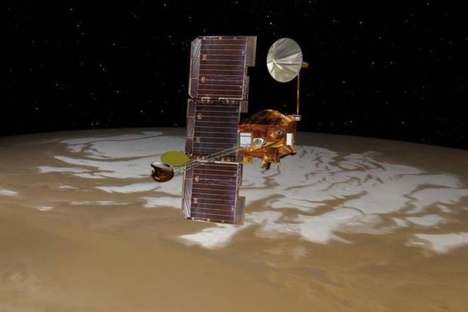
So, even though Indian Space Research Organisation (ISRO) officials have established a name for themselves as being one of the best space research organisations in the world with the launch of numerous satellites and even missiles, they have certainly also become part of the Indian defence forces to be used during wars or other strategic purposes. And they are so amazingly effective!


