


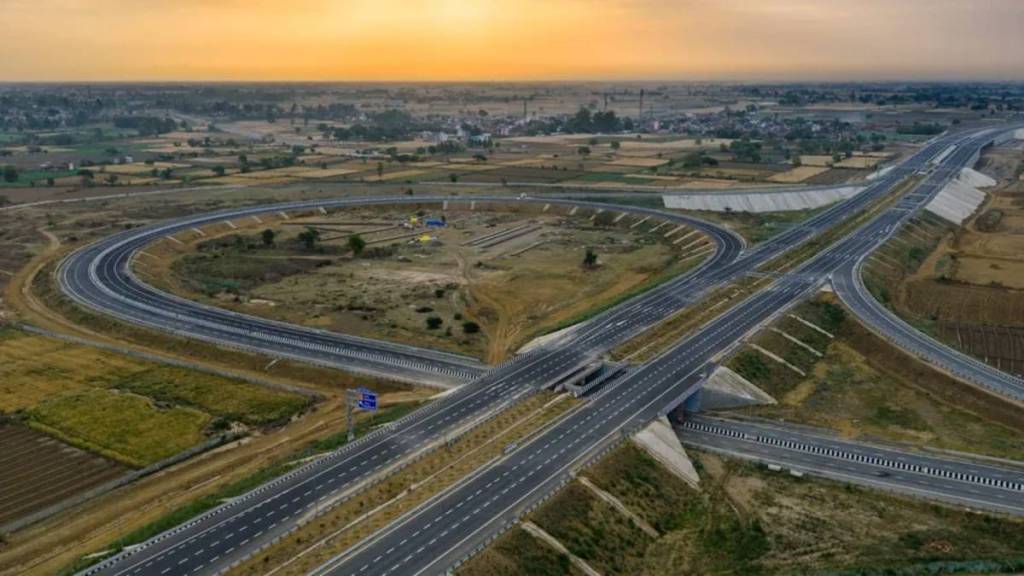

A journey that currently takes around 12 hours by road between Shamli and Gorakhpur could take nearly half that time once the proposed Gorakhpur-Shamli Expressway is completed.
The new corridor is planned to create a faster road link between western and eastern Uttar Pradesh, covering a large part of the state.
The expressway is being planned as a greenfield, high-speed, access-controlled corridor and is expected to become one of Uttar Pradesh’s longest expressways. Besides cutting travel time between the two ends, the project will connect several districts along its route through a new road corridor.
Construction plans advance for four expressway stretches
To take the project forward, the National Highways Authority of India (NHAI) has invited bids for construction of four packages of the Gorakhpur-Shamli Expressway.
Together, these sections cover more than 220 km and are being developed under the Hybrid Annuity Mode (HAM).
The four packages cover different stretches of the proposed corridor, with Package 6 and Package 7 being the longest among them.
Here are the details:
| Package | Length | Tender Amount | Closing Date |
| Package 5 | 61.400 km | Rs 31,443.40 crore | November 2, 2026 |
| Package 6 | 74.039 km | Rs 34,327.60 crore | November 2, 2026 |
| Package 7 | 74.047 km | Rs 30,910.60 crore | November 2, 2026 |
| Package 8 | 43.500 km | Rs 19,425.70 crore | November 3, 2026 |
Gorakhpur-Shamli Expressway: Length, Route
The proposed Gorakhpur-Shamli Expressway will connect Shamli in western UP with Gorakhpur in eastern UP through a new high-speed road corridor. The overall project is planned to cover around 700 km.
The route is expected to pass through 22 districts, including Shamli, Muzaffarnagar, Meerut, Bijnor, Moradabad, Sambhal, Amroha, Budaun, Bareilly, Rampur, Shahjahanpur, Hardoi, Sitapur, Lucknow, Barabanki, Bahraich, Gonda, Basti, Sant Kabir Nagar, Ayodhya and Gorakhpur.
Faster travel across Uttar Pradesh
The new expressway is expected to significantly reduce travel time between western and eastern Uttar Pradesh. The journey from Shamli to Gorakhpur, which currently takes around 12 hours by road, could come down to nearly six hours once the corridor is operational.
The access-controlled route will also provide a more direct option for long-distance travel, while improving road connectivity between the districts along the alignment.