


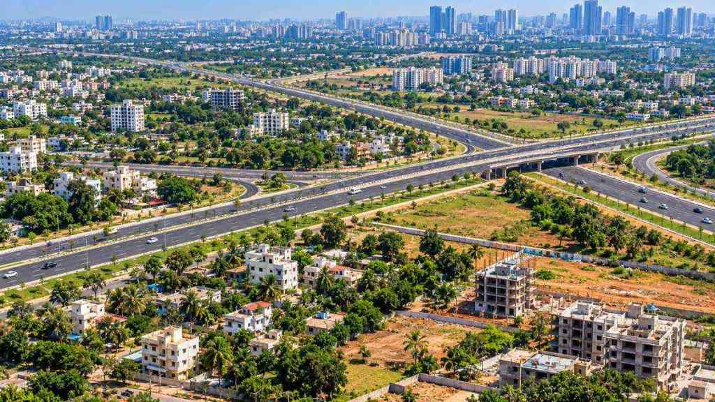

People planning to build a house or develop a layout in Bengaluru Urban district should check the newly notified road grid before commencing construction. The Karnataka government is planning a new road network as it seeks to put infrastructure in place before urbanisation spreads further into Bengaluru’s outskirts.
Bengaluru Development Minister Krishna Byre Gowda, announcing the initiative on his official X account, stated, “We cannot make the same planning mistakes twice.”
“This time, we are planning roads, water and drainage before urbanisation reaches Bengaluru’s expanding periphery,” he added.
In the accompanying video, Gowda mentioned that a new road grid has been notified across the Bengaluru Urban district and is also being incorporated into the new Master Plan.
Building a house? Check road alignment
The notification is particularly crucial for landowners and people planning houses or layouts on land marked for the road network.
“If anyone constructs a house or develops a layout on the roads/land covered under this notification, it will amount to a violation of the law and will be considered illegal,” Gowda stated in the video.
He further said that land required for these roads will have to be left aside before future development. As per the minister, the notification is available on the Bangalore Metropolitan Region Development Authority (BMRDA) website.
As per a report by PTI, officials have also been instructed to upload videos showing existing and proposed road alignments and showcase relevant details on local notice boards.
What will the road grid connect?
Gowda stated that new Comprehensive Development Plan (CDP) roads are being planned to interlink different categories of roads and create cross-connections across Bengaluru Urban district. In the video, he also refers to major district roads, state highways, peripheral roads and the Satellite Town Ring Road.
As per PTI, citing a Greater Bengaluru Authority (GBA), the grid will interlink taluk and hobli headquarters, major district routes, state highways, the Peripheral Ring Road and Satellite Town Ring Road.
Existing roads could become wider
The plan is not restricted to new roads. Gowda added that existing Zilla Panchayat village roads, PWD roads, major district roads and State highways have also been considered for widening. Depending on the corridor, road widths mentioned in the video include around 10 metres, 30 metres, 45 metres and 90 metres.
According to the GBA statement, hundreds of roads are covered. Some roads earlier around 10 metres wide have been notified for 30 metres, 45 metres and, in some cases, up to 90 metres.
Bengaluru Urbanisation ahead?
Urbanisation has already spread across around 750 sq km, whereas experts estimate Bengaluru’s urbanised area could expand to 1,400-1,800 sq km.
“Whether we want it or not, urbanisation around Bengaluru is inevitable. If we do not plan and provide infrastructure in these areas now, they will too face the same traffic and drainage problems that Bengaluru is struggling with today,” Gowda stated as quoted by PTI.
The entire Bengaluru urban district has also been included under the Bangalore Water Supply and Sewerage Board (BWSSB), with a master plan being planned for drinking water and drainage infrastructure.
Road to be developed in phases
The identified network runs into thousands of kilometres, so the roads will be developed in phases and as per priority.
Gowda stated completing the network could take five to 10 years. For residents and property owners, the immediate takeaway is to check the notified alignment before constructing a house or developing a layout.